Sept. 23: today’s run: 42 miles
En route to Jeffersonville:
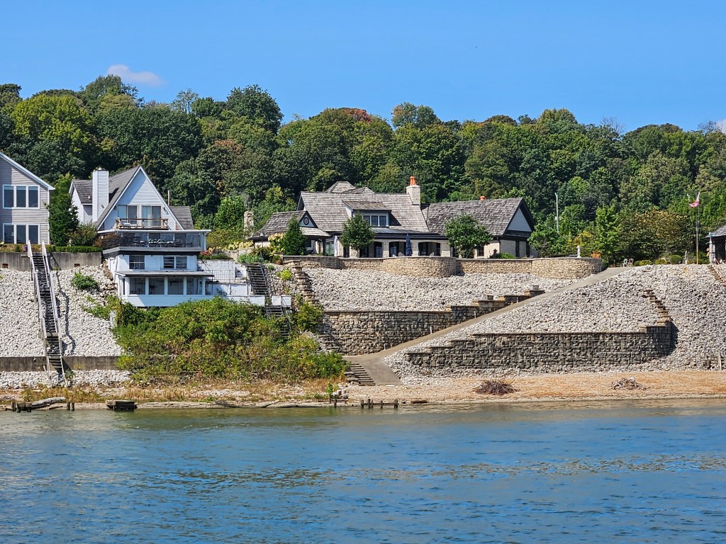
Reinforcing the shoreline against flooding
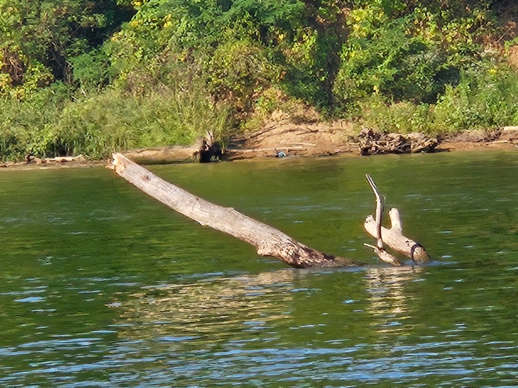
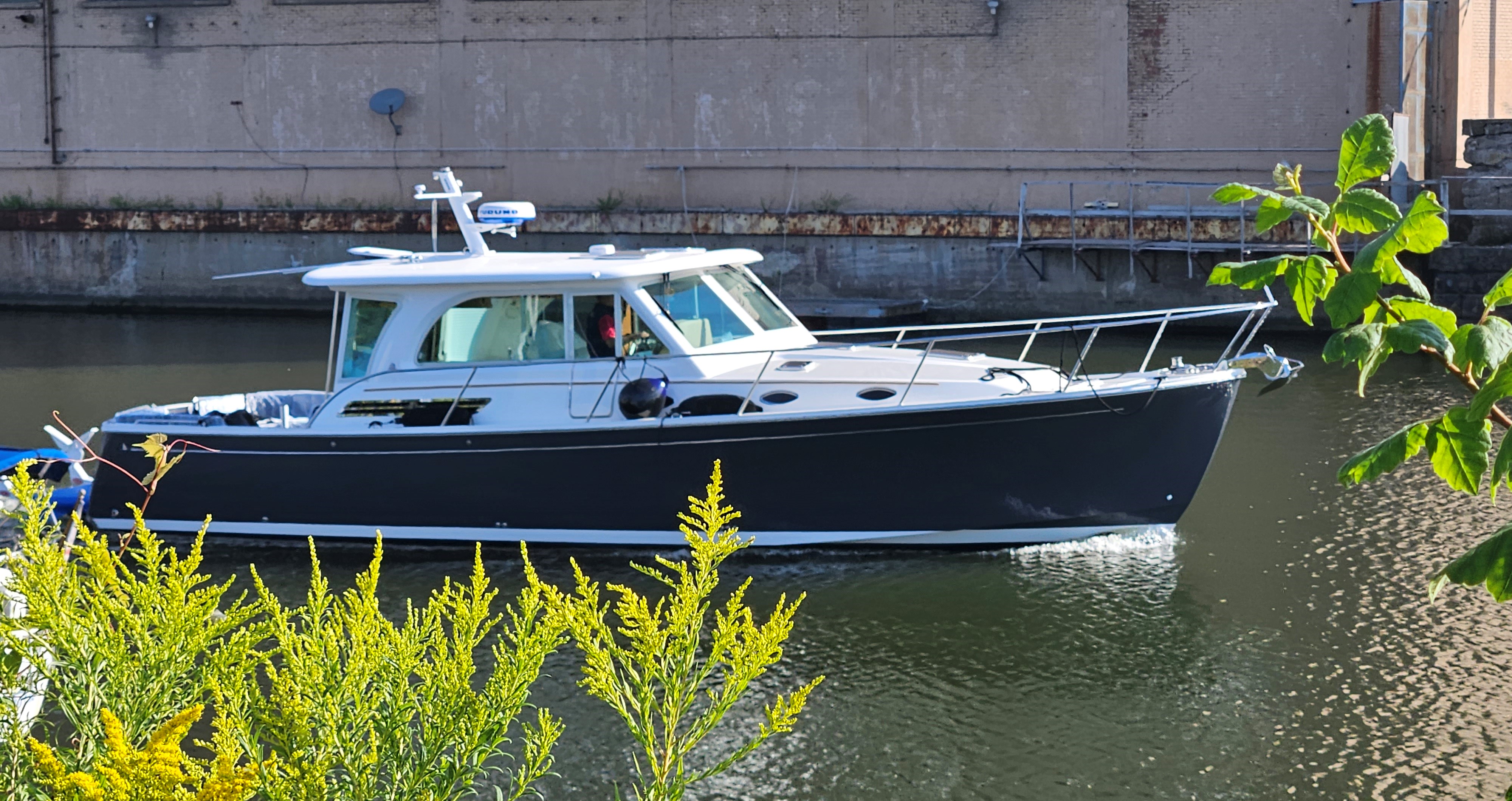
Deadheads can cause damage to propellers
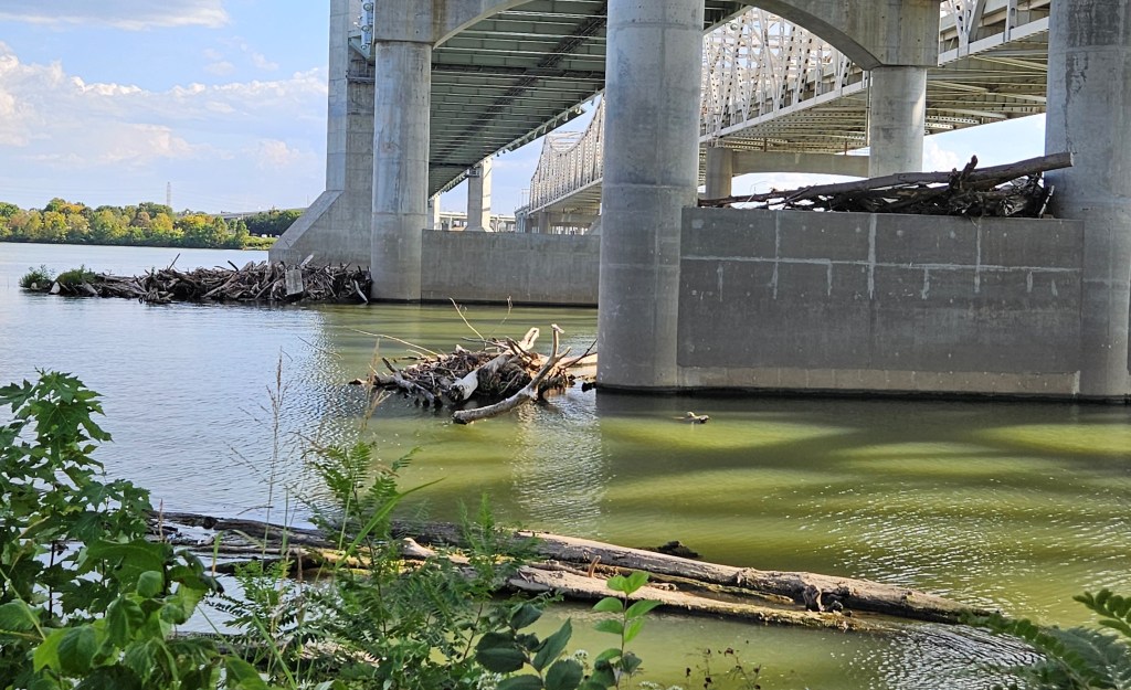
Stormy waters sweep the deadheads downriver where they accumulate against bridge abutments.
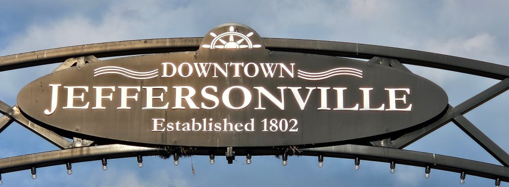
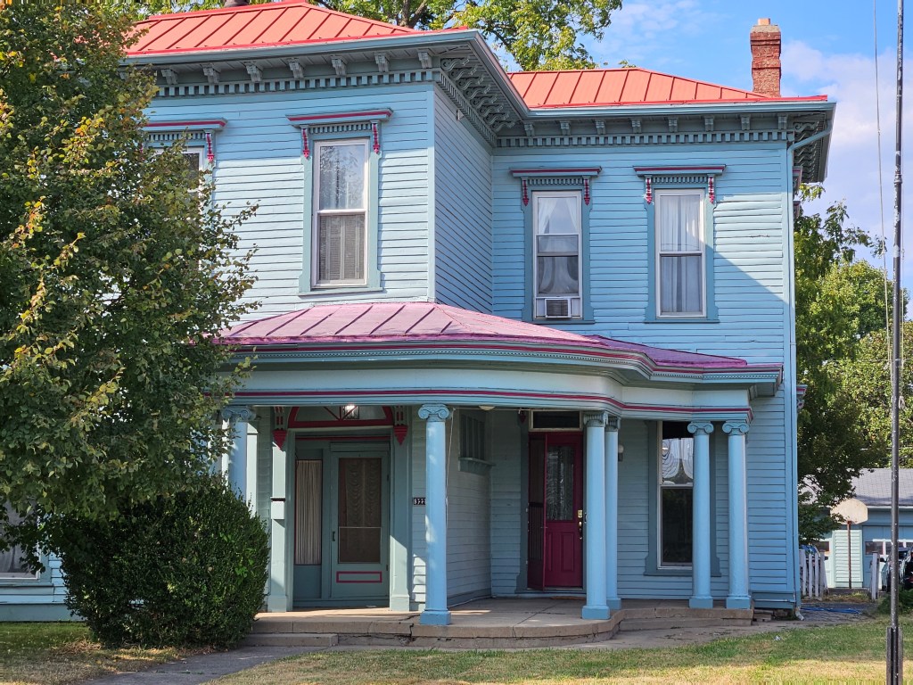
Named after President Thomas Jefferson
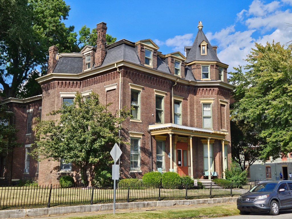
In earlier times, settlers and fur traders gathered here to use the river for transportation. The location’s proximity to Fort Finney, offered them protection from attacks. Eventually, a steamboat industry would attract even more people to the area.
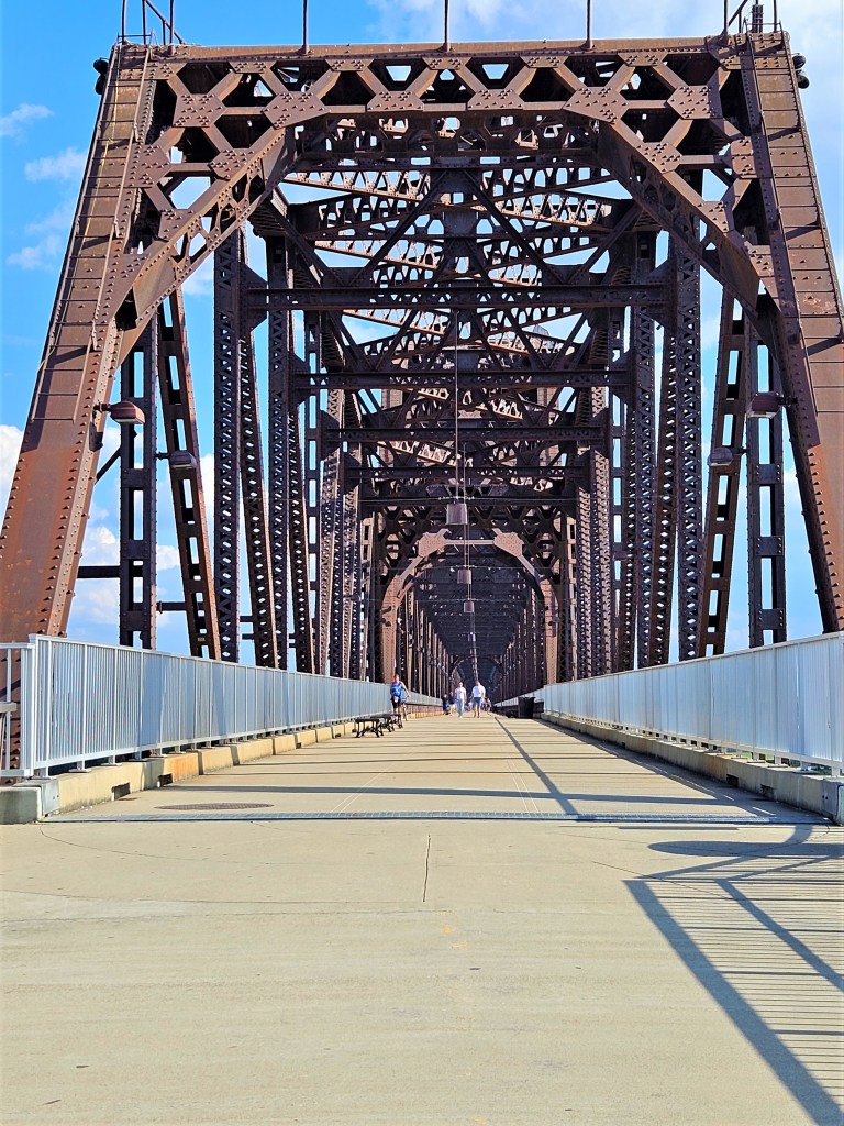
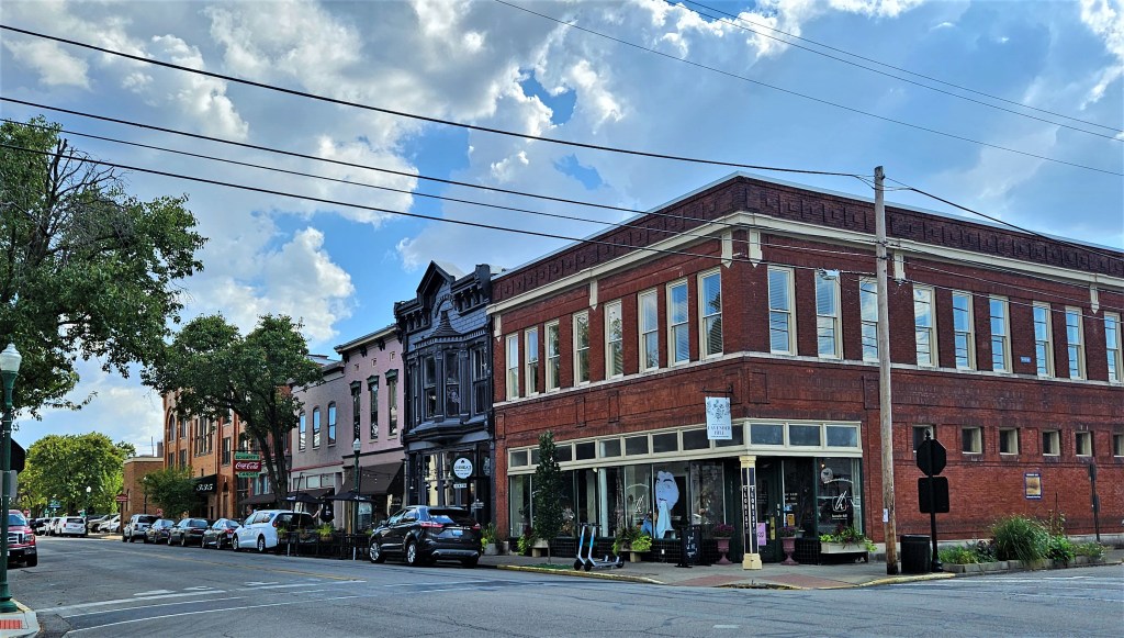
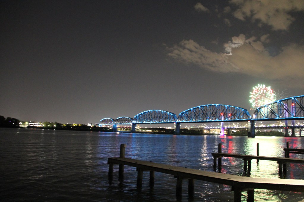
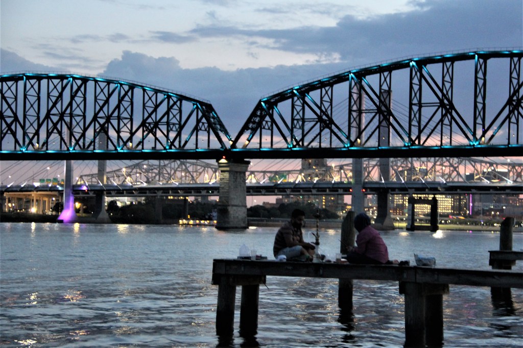
Located directly across the river from Louisville, Kentucky, (seventy percent of Louisville was under water during the flood of 1937), the historical part of Jeffersonville (pop. 50,000), is connected to Louisville by a walking bridge named The Big Four. The six-span truss bridge takes its name from the defunct Cleveland, Cincinnati, Chicago and St. Louis Railways, which carried the nickname, the Big Four Railroad.
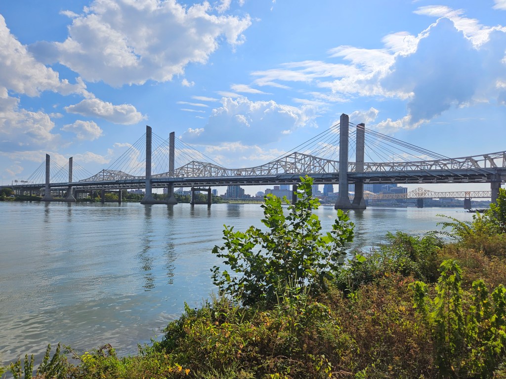
Constructed in 1895, the bridge has been refurbished to its former state of beauty. It offers wonderful views of the river and once you arrive to the middle of the mile-long walk, classical music gently fills the air.
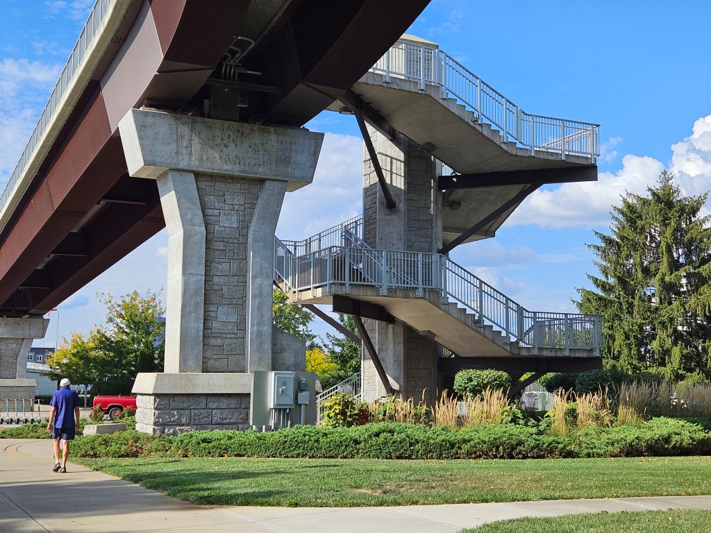
Stairs and long sloping ramps, lead pedestrians to the bridge.
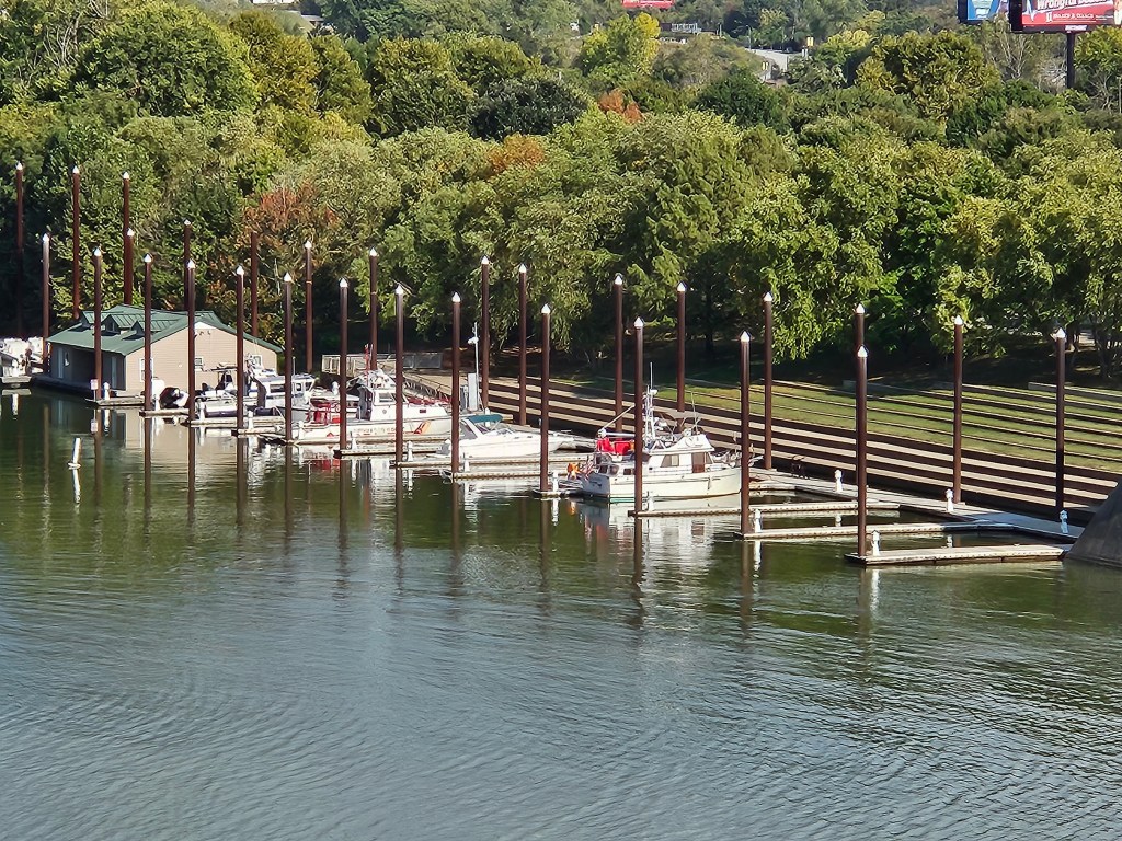
A view taken from the bridge: a marina on the St. Louisville side. Notice the tall pilons on the floating docks to accommodate future flood waters.
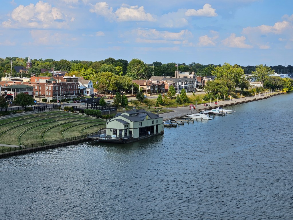
Jeffersonville side
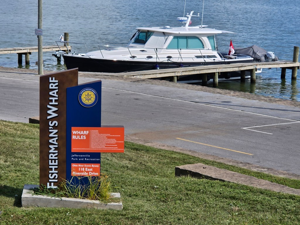
We tied to one of the municipal docks. There are no amenities here but we could walk into town.
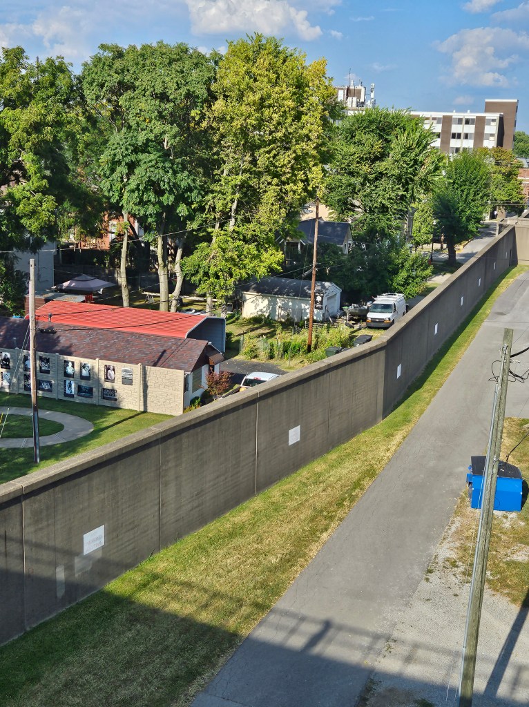
Jeffersonville’s flood wall
As nighttime fell, city lights lit-up the Louisville sky; the bridge was aglow with colourful strings of blue lighting, and there was fireworks that night.

Leave a comment