Jan 3-6, Day’s run: 30 mi
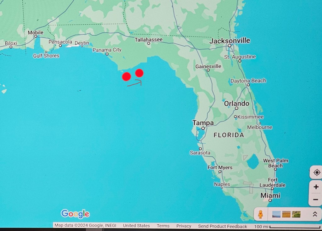
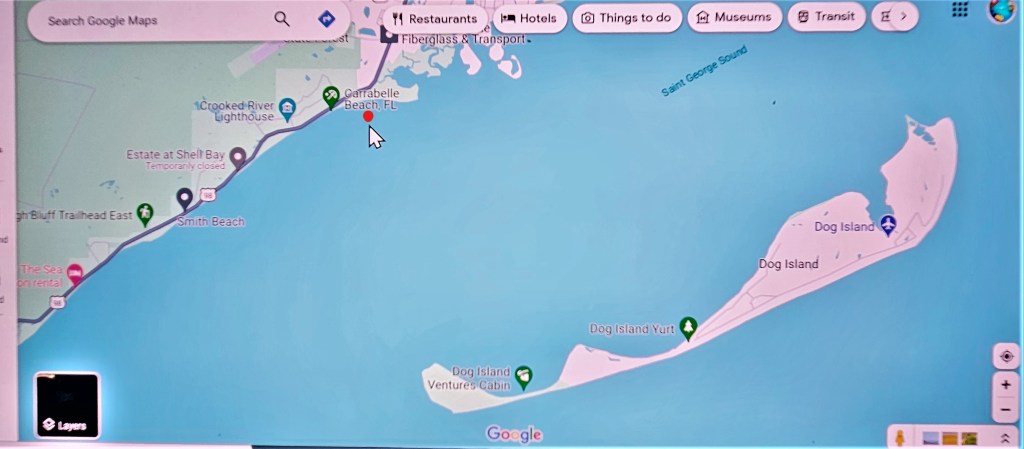
Apalachicola, Carrabelle and nearby Dog Island, are the most popular staging locations for crossing the Gulf of Mexico to the Florida Peninsula.
With cold, wet weather in the forecast, and a tidal river that promised to give us grief when docking, we left Apalachicola early morning to beat a flooding tide. We only had 30 miles, about 3 hours, to make before arriving to the marina.
St George Sound runs parallel to the Gulf. The channel crossing the Sound is buoyed all the way across; outside the channel water depth is between 2–13 feet.
Within this large span of water, (208 square miles), parts of the channel are so narrow, there is hardly room to pass an oncoming boat between red and green buoys. When we passed the East entrance to the Gulf, which we were not headed for that day, our ride got significantly bumpier from waves emptying from the Gulf into the Sound. Once we were behind Dog Island, we settled into a quieter ride again.
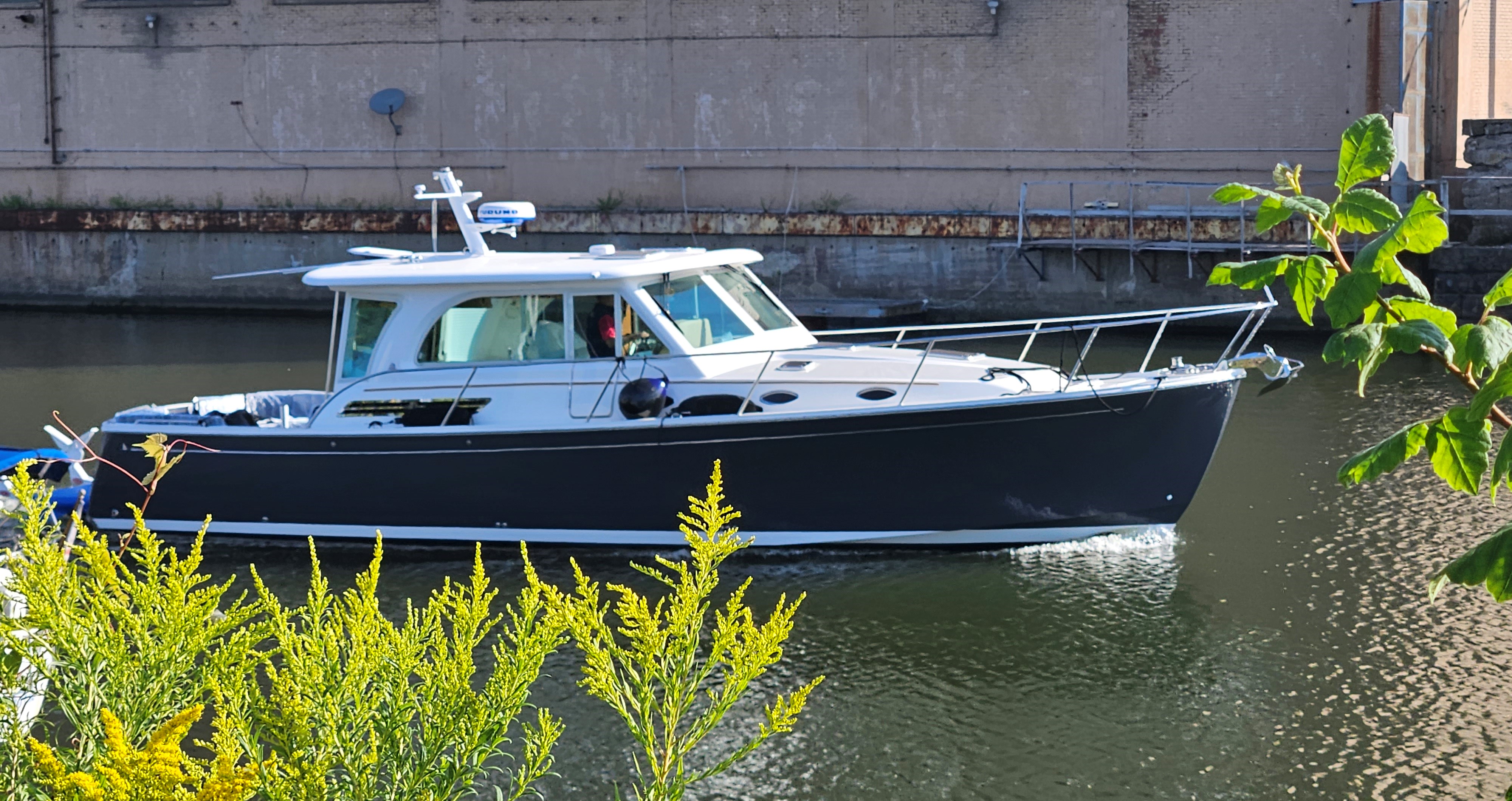
During the past several weeks, there had been few opportunities’ for crossings. Sailboats can often handle sea conditions better than many powerboats can. Take for example our last sailboat, an Oyster 56, that we had sailed across 5 oceans, weighed 32 tons, (64,000 pounds), had a hull designed to cut through water, sails that could be adjusted to wind and sea conditions and a 7.8-foot/2.9metre lead keel that helped to keep the boat right-side-up in large-sized seas, hence less roll. Although sailing downwind in large seas produced some nasty roll that sometimes triggered seasickness for me. Our Back Cove 41 weighs 29, 500 pounds with a draft of 3.9 feet and built to plane, it makes speeds of 30mph and more. There is a difference how these two types of vessels handle waves and rough seas.
Before leaving port, Mike has studied current weather conditions and the forecasts for the upcoming days ahead. In addition, for the Gulf crossing, we signed onto a professional weather reporting service again, Chris Parker’s Marine Weather Center.
It’s no surprise that weather can change rapidly. That’s why we stationed ourselves in Carrabelle; if the weather center reported a short window of opportunity, we could get into the Gulf quickly and immediately start the crossing. This year, along the coast, low pressure systems have been moving in one after the other. It’s common for boaters to wait two of three days after a low pressure passes to allow seas to subside. By that time, a second pressure system has often been forecasted resulting in more high winds.
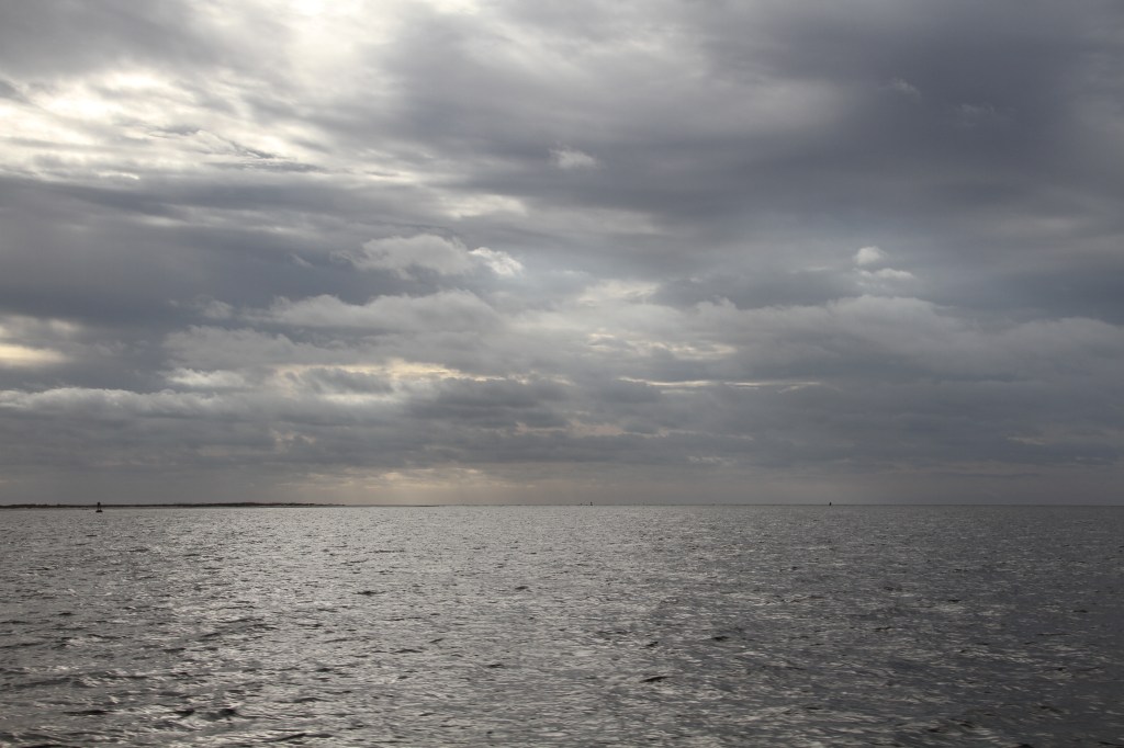
When we speak of weather conditions for offshore crossings, it’s not only wind strength we note, but wave conditions: size, the direction waves are coming from, and wave frequency (the time between waves called ‘wave period’). Short wave periods result in choppier sea conditions. Periods twice the height of waves, are acceptable for our boat design.
When traveling several miles in open water, we look for winds 15 knots or less, waves 3 feet or less with not less than 6 seconds between waves .
On the 3rd of January, the weather service forecasted yet another weather front, accompanied by high winds. We might possibly get a window for a daytime crossing on Jan 7, after it passes. We wait.
The following is an example of a Marine Weather Service report excluding comments. (E-east, W-west etc.). E veering SE wind prevents travel Fri5, then strong S veering W wind along the cold front prevents travel Sat6. Your best option is to wait for W-NW wind to relax Sat6 night and likely depart Sun7 with mostly NW veering N-NE wind under 12k. The positioning of the HI behind the front will impact exact wind strength Sun7, but we don’t anticipate it’ll be too strong for travel. They add: “Weather is dynamic this time of year”.
One fact that we were aware of was, we needed to be tied up in a protected marina when high winds blew through on January 9th.
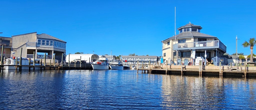
Apalachicola and Carrabelle marinas charged the most per foot that we had seen on the mainland: $3.00/foot. Apalachicola’s fuel prices were $5.30/gal, again, the most expensive so far. Carrabelle charged $20 for a pump-out (of waste water), compared to others that charged $5-10 and many times marina’s offered it free of charge when taking on fuel. The two marinas, located in two of the most logical locations to leave for crossing the Gulf, seem to be playing ‘gotcha ya’.
In 1949, during World War II, Carrabelle Beach and nearby Dog Island, two locations which were part of Camp Gordon Johnston, and an amphibious training centre, were used by the 4th Infantry Division military to train for the invasion of Normandy. On D-Day, (June 6, 1944), the first amphibian assault teams to arrive on French soil were the 4th Infantry Division.
Apalachicola population: 2,600. From the marina, we could walk to town.
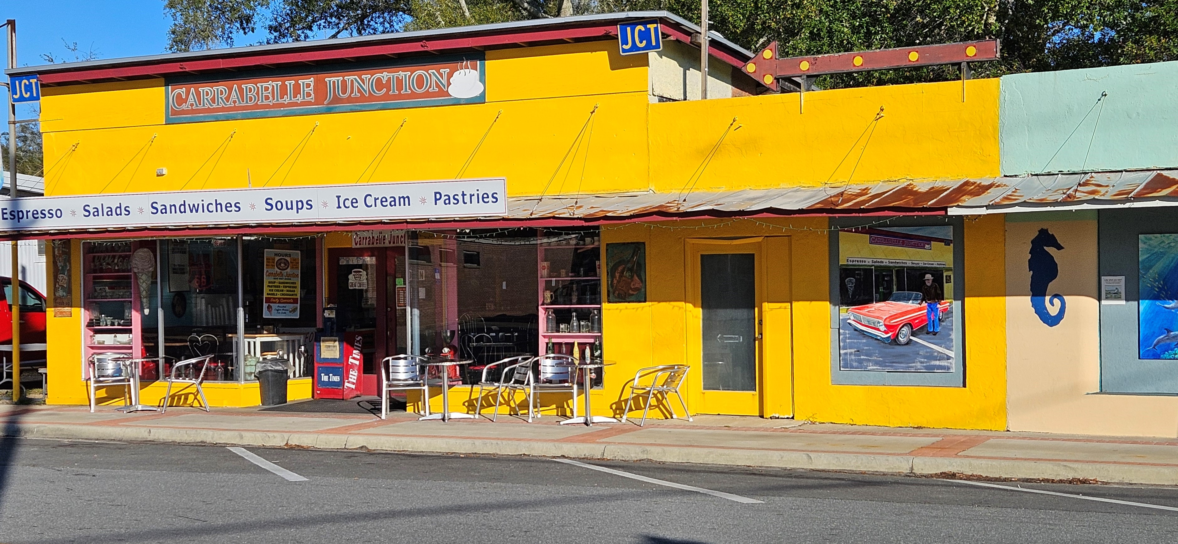
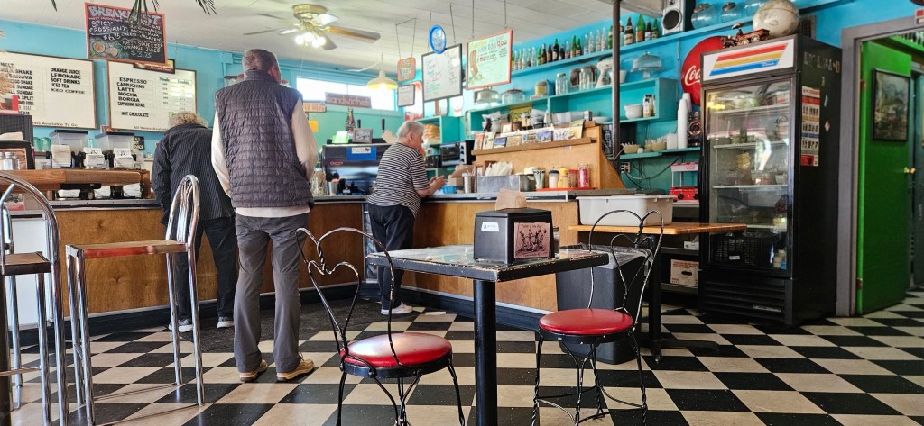
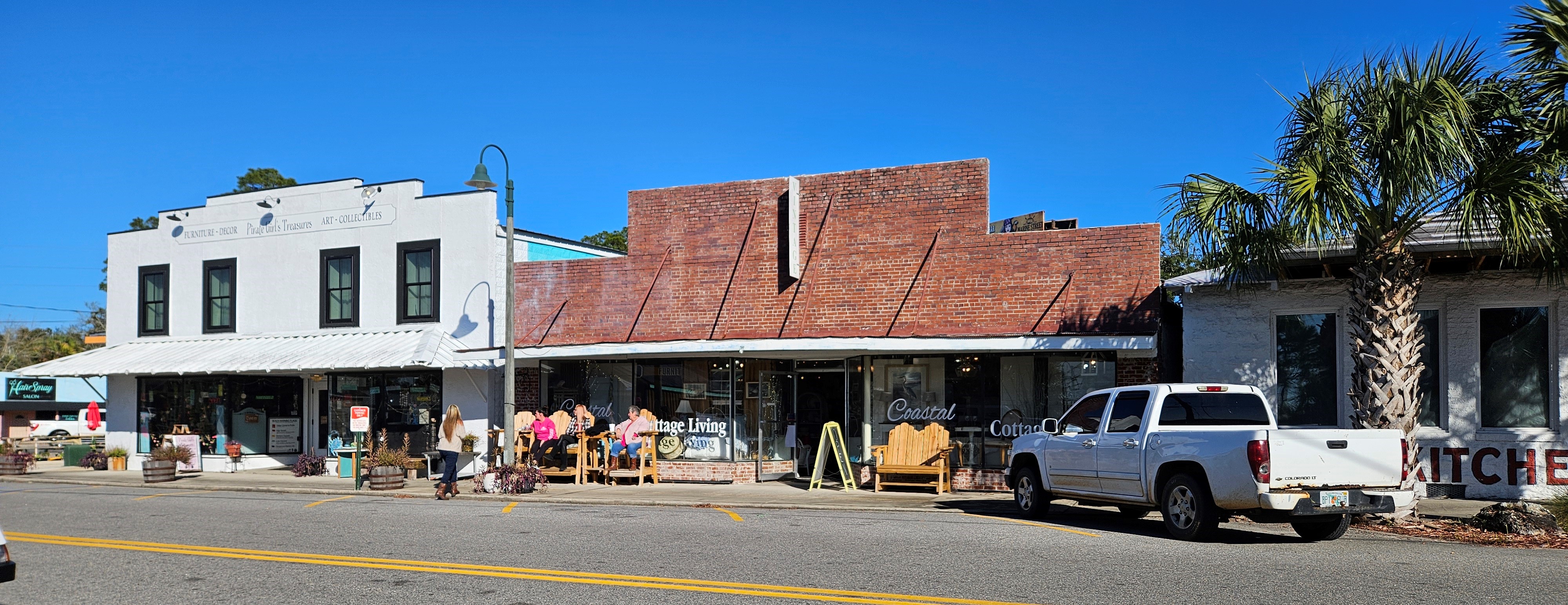
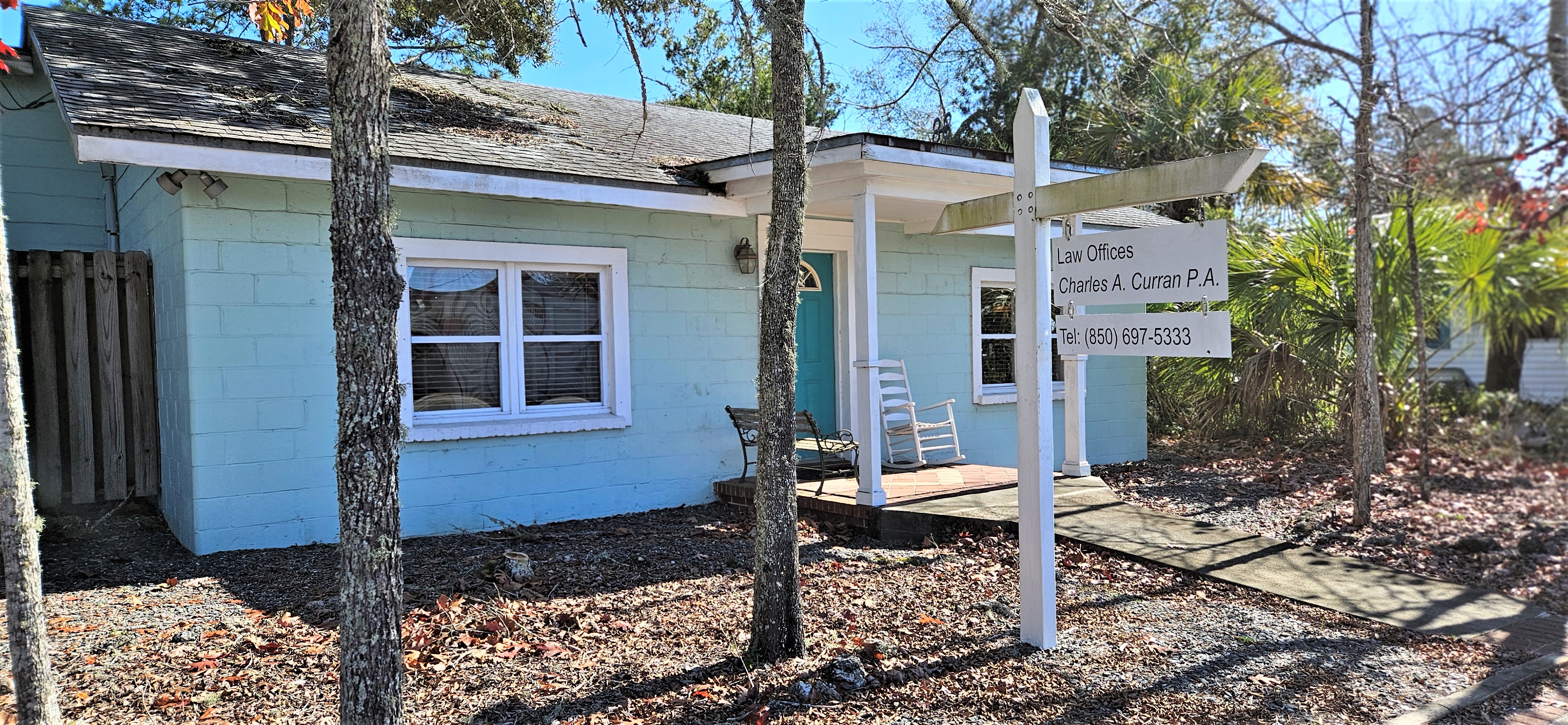
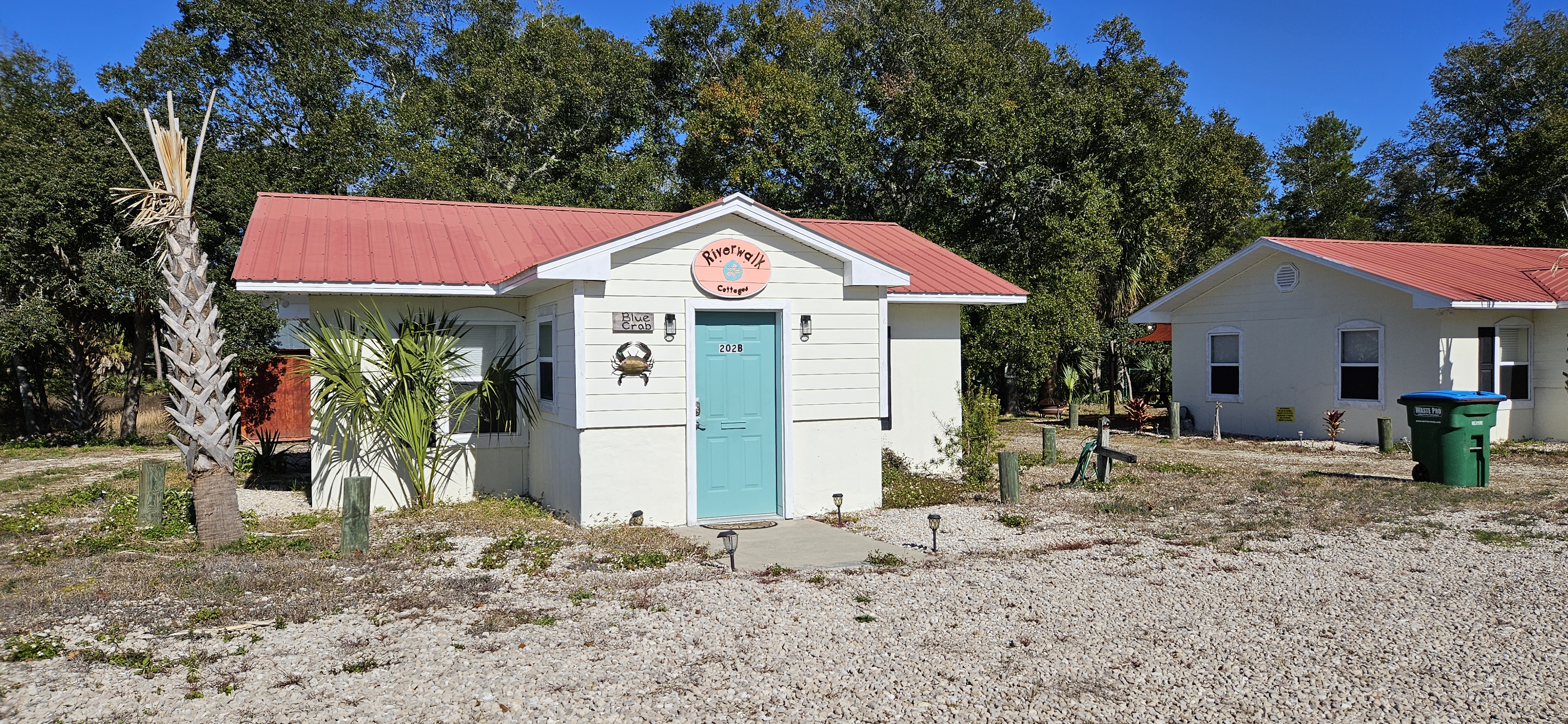
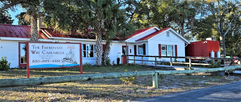
Pictured from the top: Carrabelle Junction – a diner-style lunch stop; inside the diner; shops on Main St., a lawyer’s office, rental cottages, The Fisherman’s Wife restaurant.
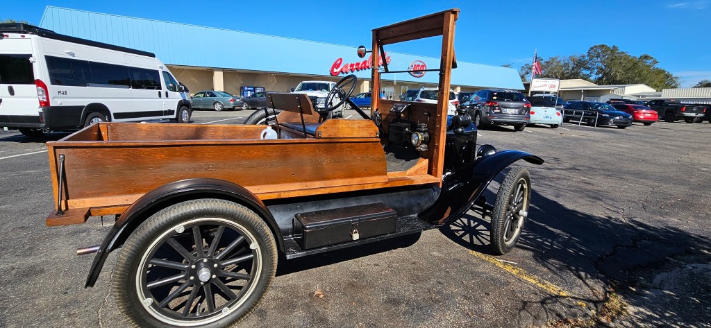
One day, while walking to the local IGA grocery store, I met a lady who owned this Ford Model T. She had pulled into the lot to go shopping.
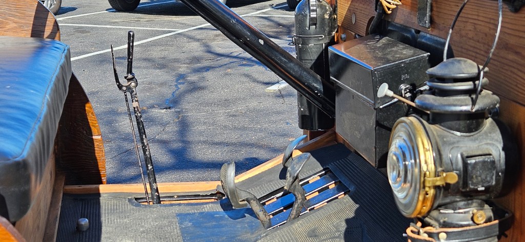
She gave me a quick lesson how to manage the vehicle. “On the steering wheel, the right lever is the throttle ( the car has no accelerator pedal), and the left one is the spark advance. The left peddle is a 3-position gear shift: forward and down is low, towards the back is high and the middle position is reverse. The one on the outside and on the right, is a transmission break. The stick on the drivers side is a hand break.”
” The light in the cab is kerosene and removeable. The purpose being that if you were traveling at night and needed to open a gate, you could use the lantern. The headlights are on a 6 volt electric, system. She is suppose to be cable of going 40mph/64km/hr, but I’m still learning how to use the high gear and have only had her up to that speed a couple of times. And it was scary!”
“The horn (pictured below), is probably the most expensive thing on the car; it’s pure brass.” (Notice the squeeze bulb over the tire). “It [the car], has a dangling rear kerosene lamp at the back to be used as a tail light when driving at night time.”
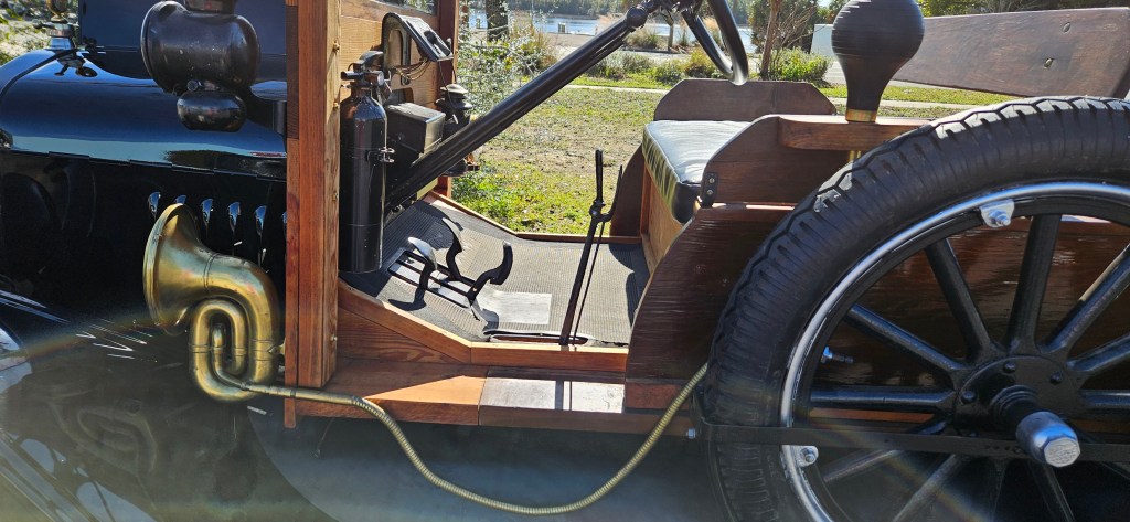
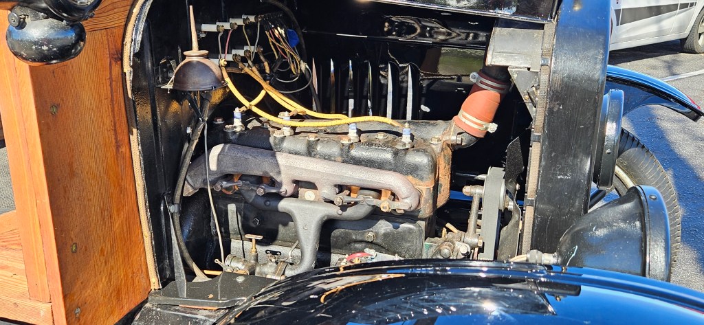
“A lot of model Ts were made just as a chassis and then sold to the buyer who took it to a body company like Fisher and had it fitted with a body of their choice. I have never seen another one like this that used wood so maybe this one is a custom fitted [model]. Ford made millions of these Ts and you can get one today for a lot less than what you pay for a truck to tow the trailer you need to transport it home.”

Leave a comment