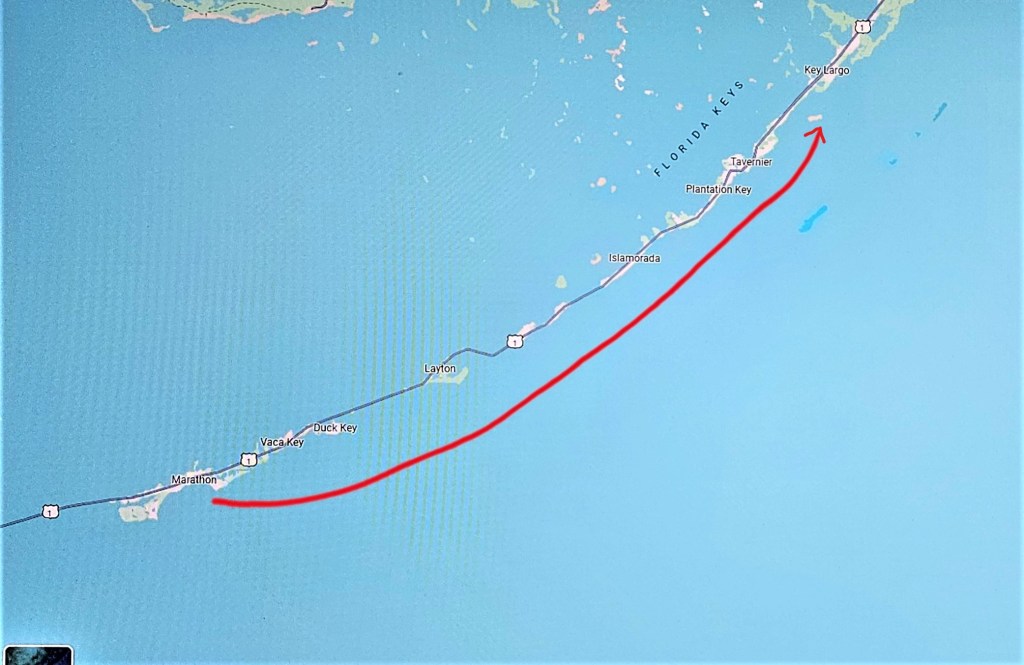
Feb. 25-26, 2024; Marathon to Rodriguez Key; Today’s Run: 58 miles
Plans for traveling to the Bahama Islands started before we left Key West. Timing our departure from the Keys and our arrival to Marathon and then Rodriguez Key, two stepping stones to the islands, was dominated by weather conditions. For instance, it was important not to arrive in Marathon too early because there was little to entertain us there in the event we were delayed a few days, or possibly weeks due to weather. We therefore had to wait for a long-range forecast that included good weather and friendly Atlantic sea conditions that would enable us to travel to Marathon, and then to Rodriguez Key where there was nothing there either, other than a place to drop an anchor, and then finally, onward to the islands.
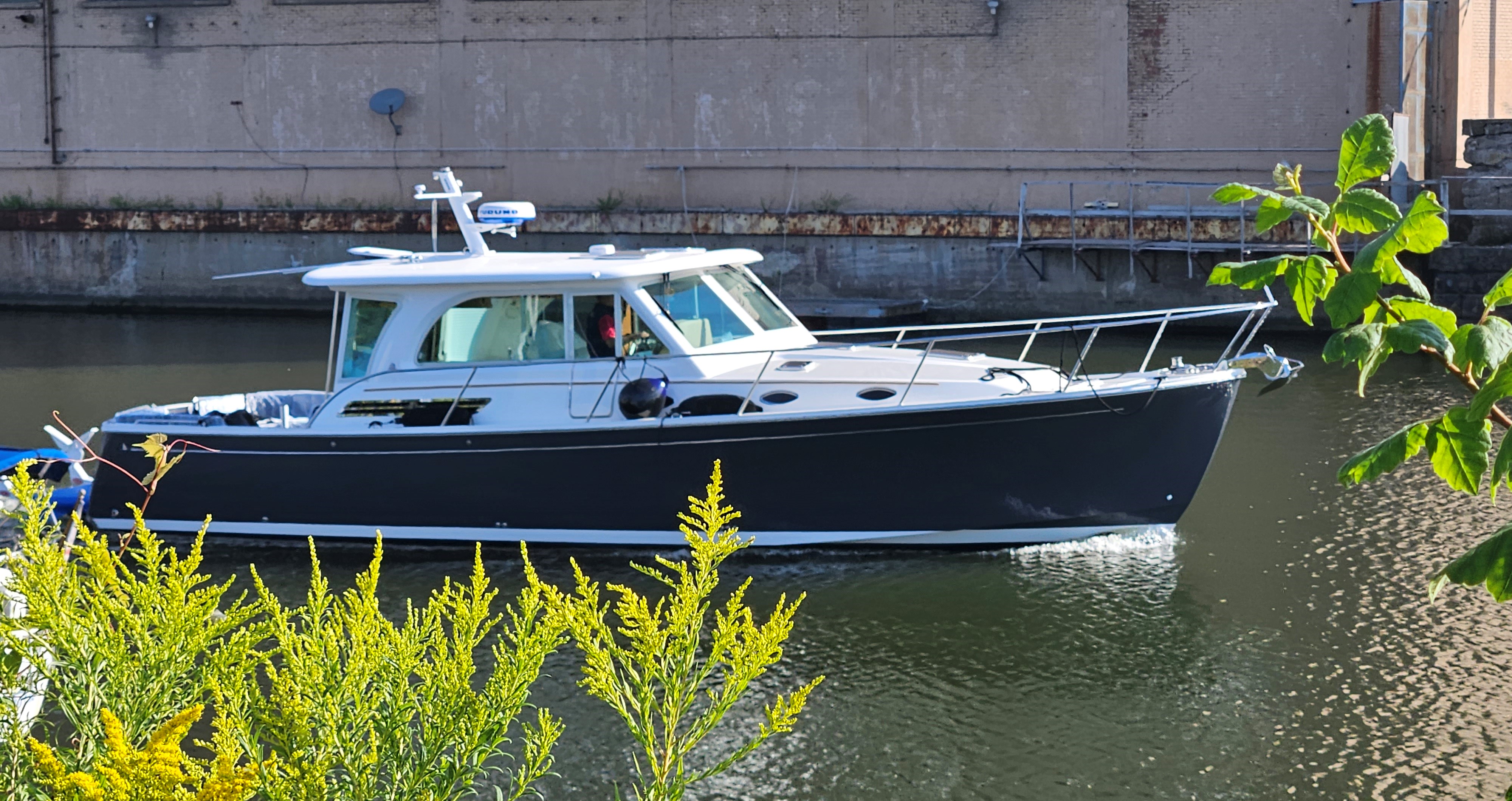
Marathon was a good stopover before moving to Rodriguez Key, the final jumping-off point to the Islands. A grocery store had provided last minute fresh supplies while we ate through some of the provisions intended for the Bahamas.
Weather in the Straits changes frequently and sometimes radically. In addition, not only conditions on departure day, but what has taken place several days earlier, affect sea conditions. Also, how the combination of weather and tides would affect boating in the Gulf Stream was important to predict.* Passage-making across this stretch of ocean is not a long one, but several factors need to come together for a safe and reasonably comfortable ride.
The following is the forecast from Chris Parker Weather Forecasting and Weather Routing we received before leaving Marathon. His forecast clarifies why we used a professional weather forecaster when planning this passage. ( We left Rodriguez Key for Bimini, Bahama Islands on the 27th.)
1-S-SW wind builds on Fri23, which is a reasonable wind direction, but SW wind could reach into the low-20’s by Fri23 afternoon. This would be a very rough trip and the entrance at Bimini, [Bahamas], would be extremely difficult to enter.
The cold front which builds the SW wind arrives early Sat24 with SW wind veering toward NW and remaining brisk, causing inclement conditions in the Gulf Stream.*
2-Conditions are likely to be inclement for crossing the Gulf Stream to Bimini on Sun25 due to lingering N wind behind a cold front which passes early Sat. 24.
The location of the post-frontal HI [high pressure system], is uncertain, but it may be far enough S to collapse wind for a reasonable Gulf Stream crossing around Mon26. Given typical model biases and trends, I wouldn’t count on a window Mon26 as it’s more likely that the HI is farther N than currently modeled.
If there isn’t a window to cross the Stream Mon26, there is likely no window Tue27-Wed28 as E-SE wind would establish S of the HI.
We’ll schedule another update for Wed21 to reassess the possible Mon26 crossing.
3- Conclusion: on timing trip Fri23: it’s a trade-off. Milder wind/seas are more on-the-beam especially early morning but are higher as they shift toward stern quarter late morning-midday. Then late afternoon might be better, as wind/seas are more on-the-stern. None of the conditions on Fri23 are problematic. If you really hate wind/seas on-the-beam, then I would depart in the afternoon. If it’s more important to have mildest wind/seas, then I would depart early morning.
We will schedule the next forecast to be sent early Sun25 morning, so we can fine-tune departure timing from Marathon Sun25 (and we’ll include forecast for Mon26 to Bimini) – but I would expect departure Sun25 not before Noon-2pm.
LEAVING MARATHON FOR RODRIGUEZ KEY
Traveling North, 3-4 miles offshore, the Keys to port and open Atlantic to starboard, salty spray, kicked up by powering through Atlantic swells, saturated everything; the wipers swished across the windshield in an effort to clear our view.
Once we arrived in Rodriguez Key, there would be no opportunity for a freshwater boat washdown. The next place would be a marina in the islands where we would pay per gallon of water. Saltwater is corrosive to everything exposed to it. If not attended to, saltwater can add years to the condition of a boat’s life.
On the 26th, we received a final report from Chris Parker Weather Forecasting: The summary read: Mike, Tues27 looks reasonable, have a good trip.
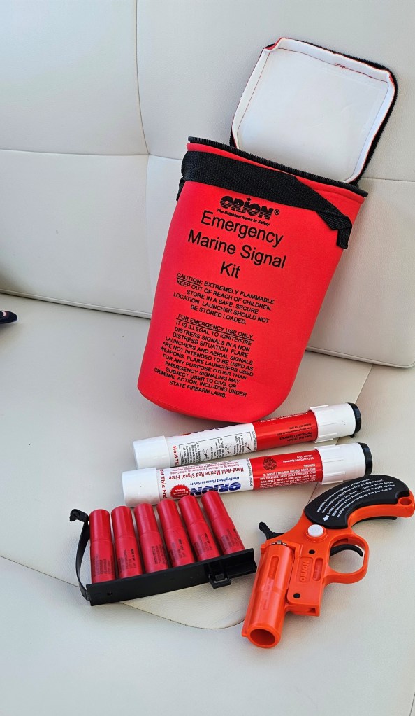
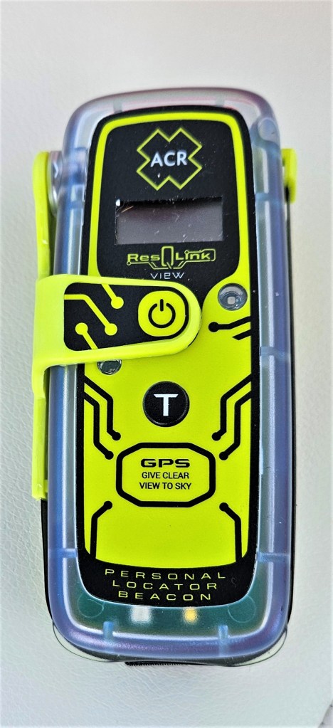
The night before we left Rodriguez Key, we notified our family that we would be leaving the following day. We informed them of our intended route, ETA, and information the Coastguard would request if our family notified them they had not heard that we had arrived: boat registration number, boat specs, radio call sign, list of emergency equipment onboard, no life raft, type of flares etc.
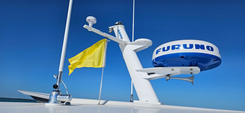
Before leaving, we took down the U.S courtesy flag and replaced it with a yellow Q flag signaling a request for Bahamian customs and immigration clearance. This formality signals that a boat is not attempting to enter a country illegally.
After dinner, I spread non-skid mats across the counter tops and made last minute food preparations for underway while Mike double-checked the weather and routing. Then we went to bed. Tomorrow was going to be a big day.
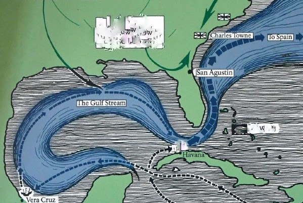
*The Gulf Stream can be seen by satellite. In effect, it is a submerged river in the sea. It has power to offer bonus speed to a boat travelling north or conversely, cause hectic seas with an opposing wind. All the world’s oceans are mapped with fast flowing currents, camouflaged forces lying in depths actively running with enough energy to give a free ride or make life miserable. They are forces to be reckoned with, and to play to one’s advantage when possible. In the early 1500s, Spanish ships rode the warm waters of the Florida Current from the Caribbean to what is known today as Cape Hatteras, (US). Here, in shallower waters, where the Gulf Stream becomes evident, early Navigators utilized the five to six knot current to speed northward and then eastward towards Europe. The Stream carries warm water from the tropics to higher latitudes, and monitoring the temperature would help us determine when we entered and exited the Stream’s current. Excerpt from Yes, The World is Round, Part I.
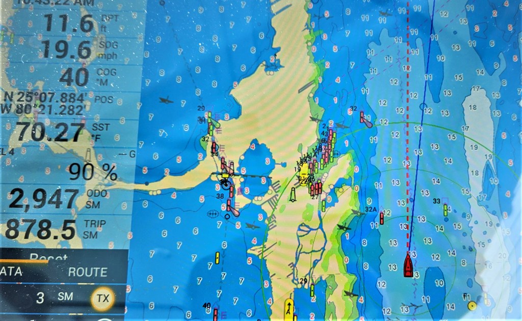
The point where we would intersect the Gulf Stream after leaving Rodriguez Key, would be 30-miles wide; half our crossing time would be spent traversing the Stream.

Leave a comment