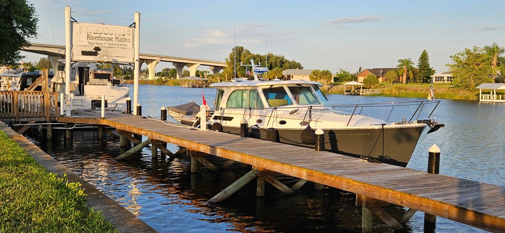
April 4, 2024, Stuart to Moore Haven; Today’s run: 70 miles.
Click on ‘Reader’ (upper right corner), to read the posted blogs in a larger format.
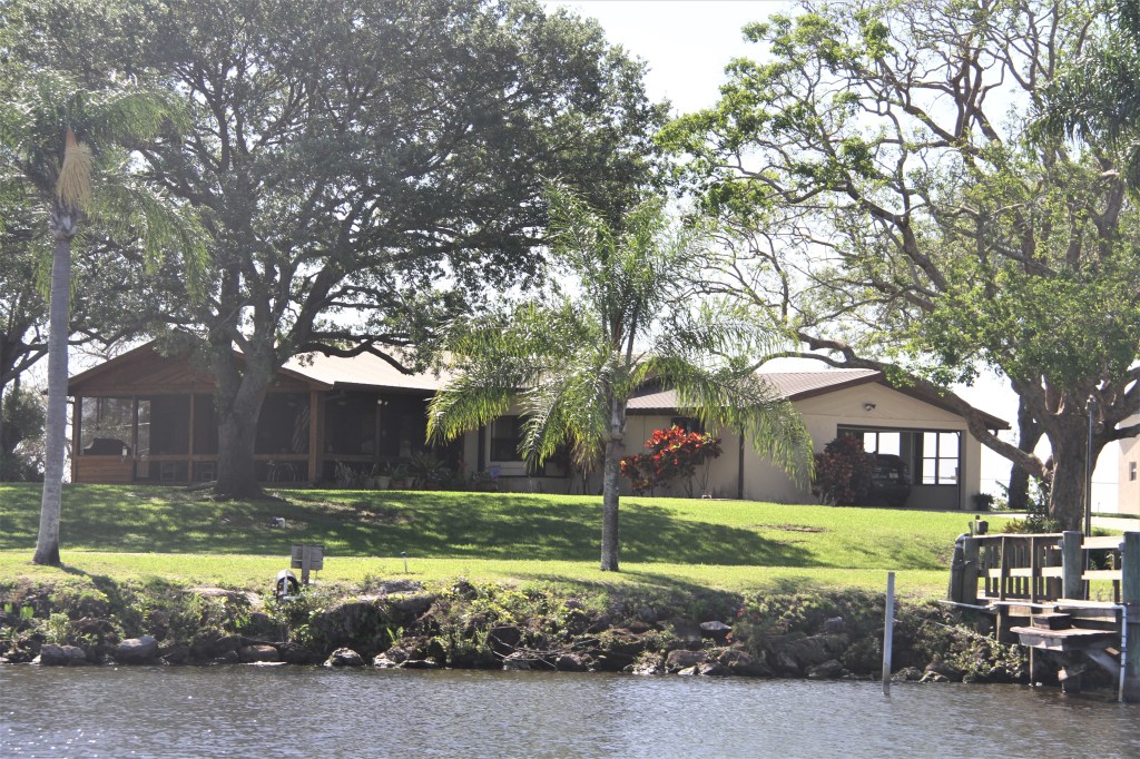
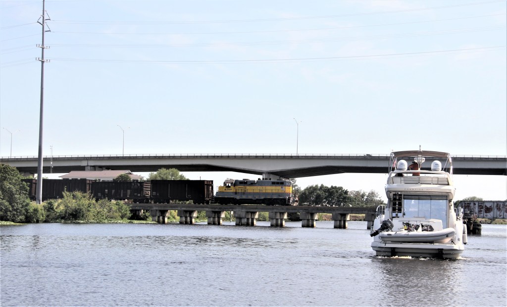
Fifteen miles south of Stuart, we entered the Okeechobee Waterway, (Atlantic Ocean to the Gulf of Mexico).
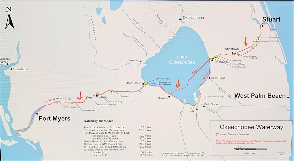
Lake Okeechobee* can be as shallow as 5 feet, and has the potential to be rough, even in 15-20 knot winds. But that day, it allowed us to boot across in an hour and a half, (26 mi/42km), and that was of importance because the Moore Haven lock, the last lock we needed to navigate before arriving to the dock there, locks through the last boat at 4: 30pm.
*Lake Okeechobee’s Herbert Hoover Dike: In 1928, the deadliest hurricane ever to hit Florida, (unnamed, but referred to as Okeechobee or San Felipe Segundo), caused water to pour over the southern edge of Lake Okeechobee resulting in at least 2, 500 deaths. To prevent a similar catastrophe from happening, a 143 mile/230-kilometre earthen dam was constructed around Lake Okeechobee. (A bicycle path runs along the top of the dike, part of a 1000 mi/ 16000 km scenic trail.)
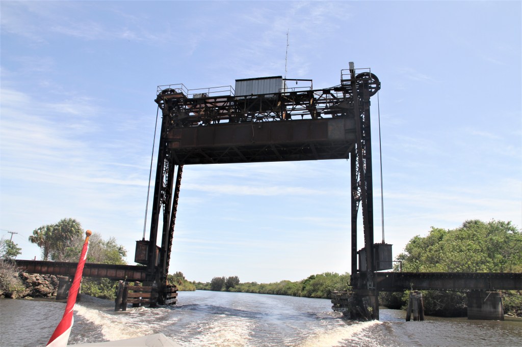
St Lucie Lock
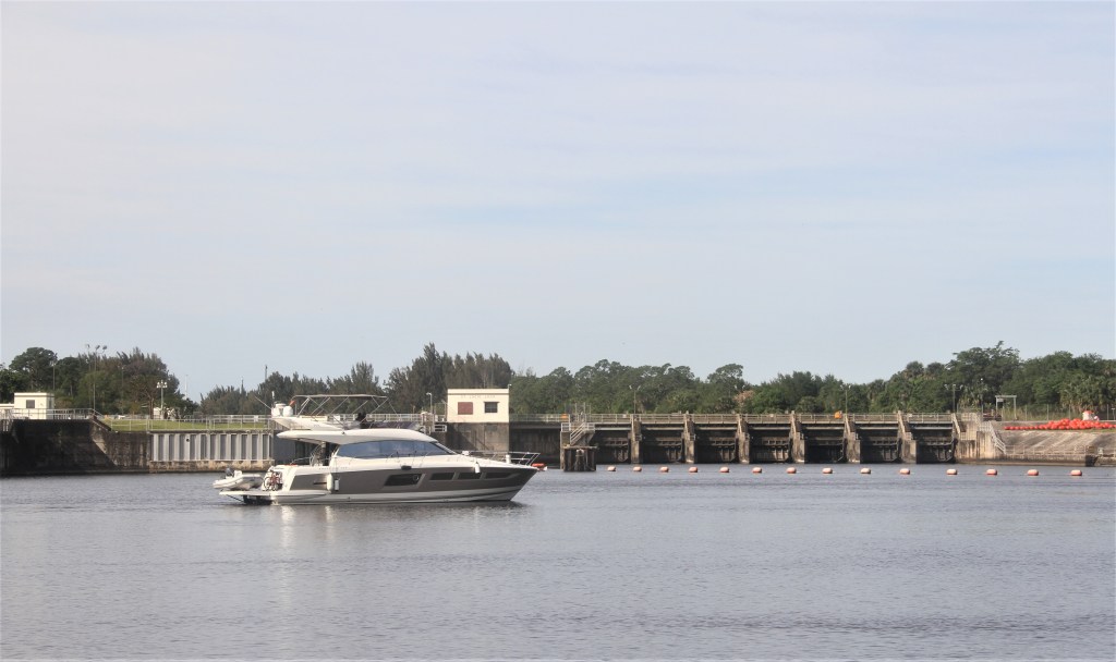
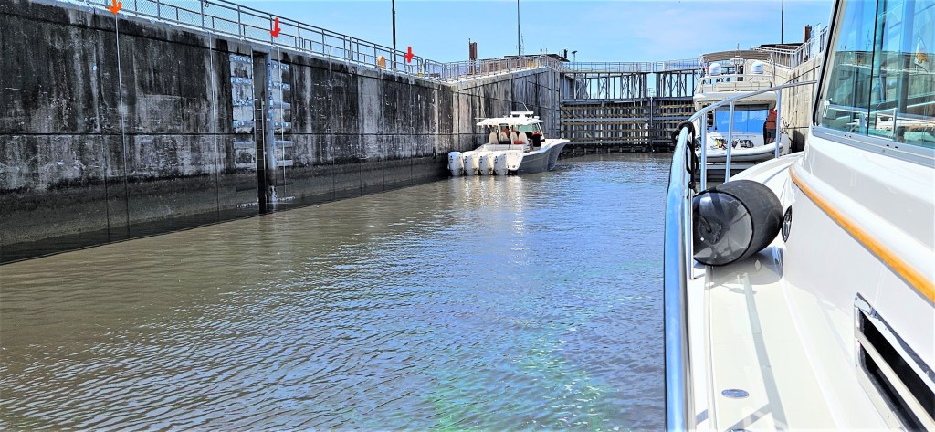
After getting a green light, we proceeded into the lock, and pulled alongside one of several hanging ropes, ( marked with red arrows on the left in the above picture). The lines are not always hanging in readiness for boaters to grab, alternatively, a lockmaster might walk along the top of the lock and drop an attached bow and stern line to your deck.
For maximum control, we hooked the lines around cleats playing out the lines while the lock filled. This method offers less control of your boat than in other locks where you can loop a line around a bollard located at deck level.
But the locks in the Okeechobee Canal do not fill the same way other North American locks do. There are no valves for admitting water but instead, the gate on the high-water side opens a foot or two, allowing water to gently pour in through the opening. In some locks, depending on the time of year, raising and lowering might be one foot.
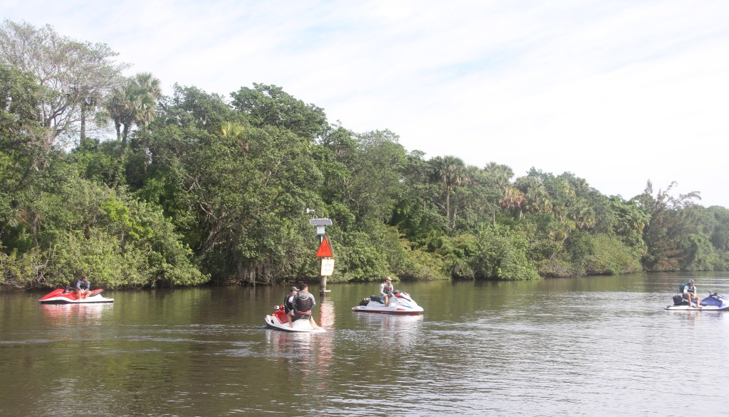
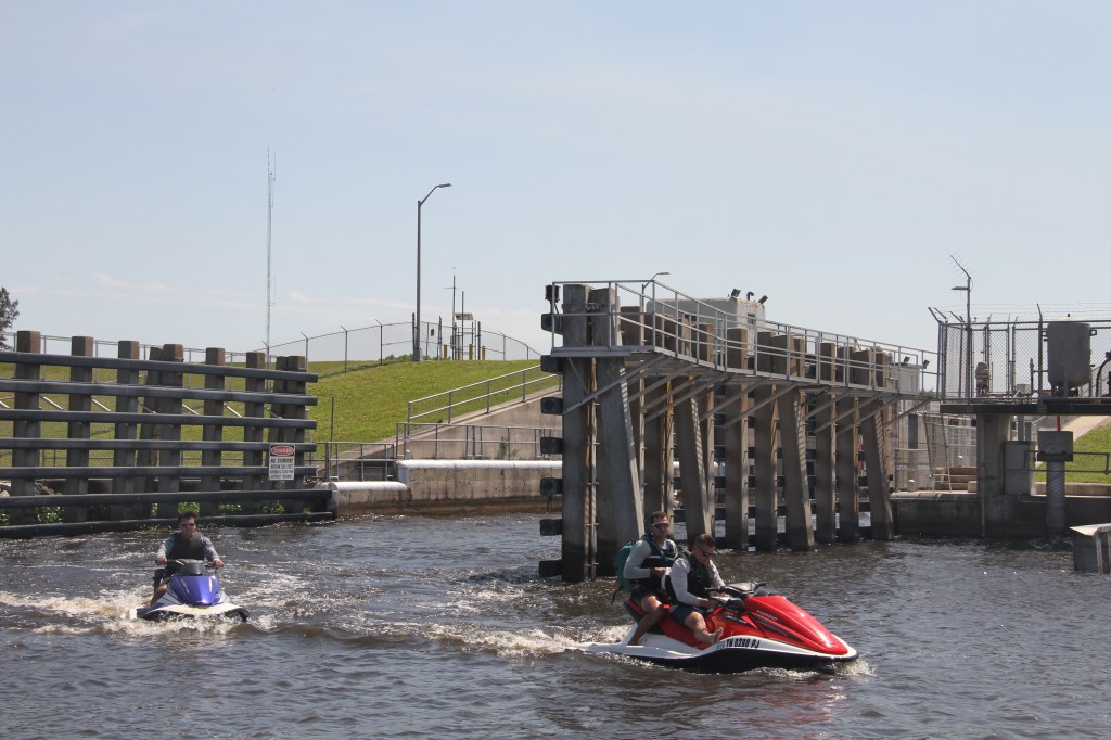
The jet skiers had been riding hard in hopes of making it all the way to Fort Meyers before the locks closed at 5pm. While waiting inside the lock for boats to tie up, and the gates to close, one young man, after shouting to his buddies that he needed to relieve himself, slid off his seat and down the stern of his jet ski. While holding onto the handlebars, he lowered his touche towards the water. I presume he hadn’t read that alligators are sometimes transported through the lock system.
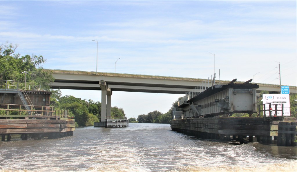
After leaving the lock, the jet skiers overtook us in the canal, racing towards the next lock. But upon approaching Clewiston, (mile 65), where the canal takes a hard 90 degree turn southeast, they missed the turn and instead, drove straight into the Clewiston Lock, just metres from the 90 degree turn.
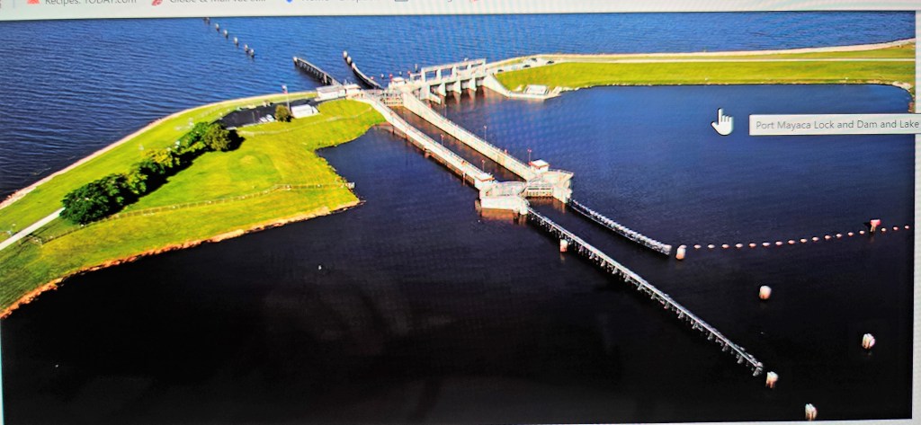


History of the Florida Everglades, and Okeechobee Waterway: Shortly after Florida became a state in 1845, its leaders began to consider draining the swampy areas of south Florida for farmland as an inducement to settlement. Five years later, Florida received title to all swamp and overflowed lands within its borders, approximately 15 million acres. But the state did not have the funds to undertake the drainage. Five years later, a wealthy Englishman, Hamilton Disston, agreed to drain the Everglades for half the acreage he could reclaim.* One of his projects was to improve the Caloosahatchee River and connect it with Lake Okeechobee by a canal which enters the lake near Moore Haven. In the early 1900s, the town of Moor Haven grew up around the entrance to the canal. By this time, the state was responsible for drainage, and in 1917-18, it constructed a lock at the canal entrance. There are now 5 locks on the canal.
*The Disston Land Purchase: “The result of this was a formal contract dated June 1, 1881, between the trustees of the Internal Improvement Fund,(I.I.Fund), and Mr. Disston for the sale of 4,000,000 acres at twenty-five cents an acre or $1,000,000.” (The University of Western Florida/Minutes of the Board of Trustees of the Internal Improvement Fund of the State of Florida, 1879 to 1883.)
There is more to the story; to learn more, click here: https://stars.library.ucf.edu/cgi/viewcontent.cgi?article=1930&context=fhq
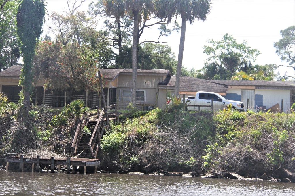
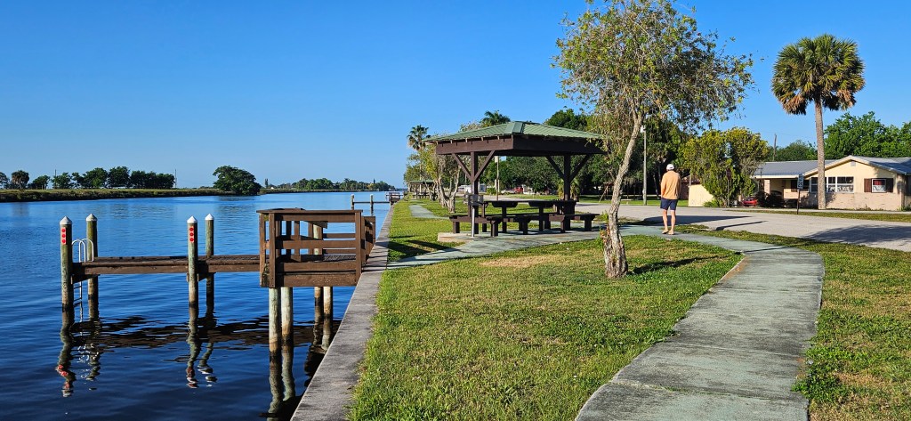
Historical Moore Haven


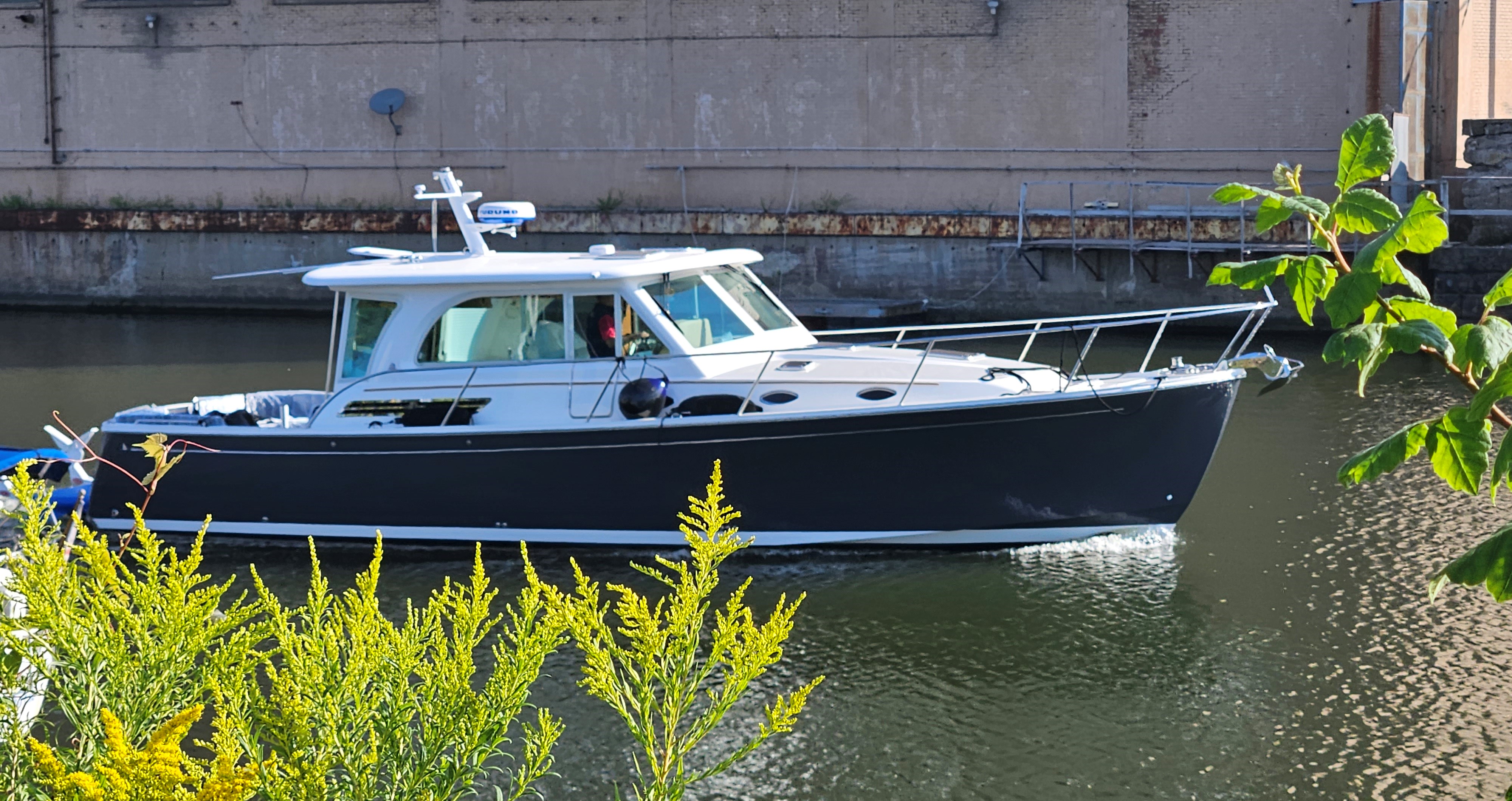
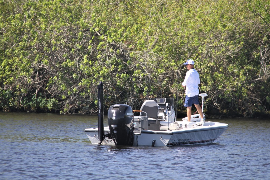
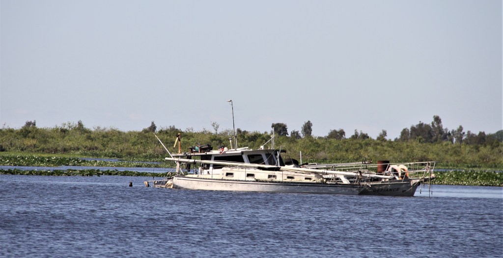
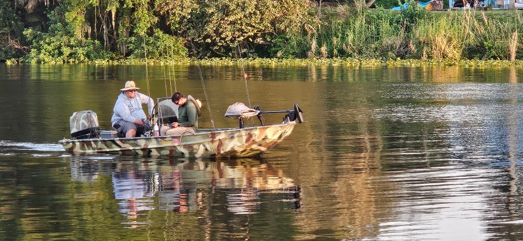
A Collection of Boat names


Leave a comment