Nov. 18-23, 2024; Cape Coral to Pelican Bay: 27 miles.
En route; returning to the Gulf Intracoastal Waterway.
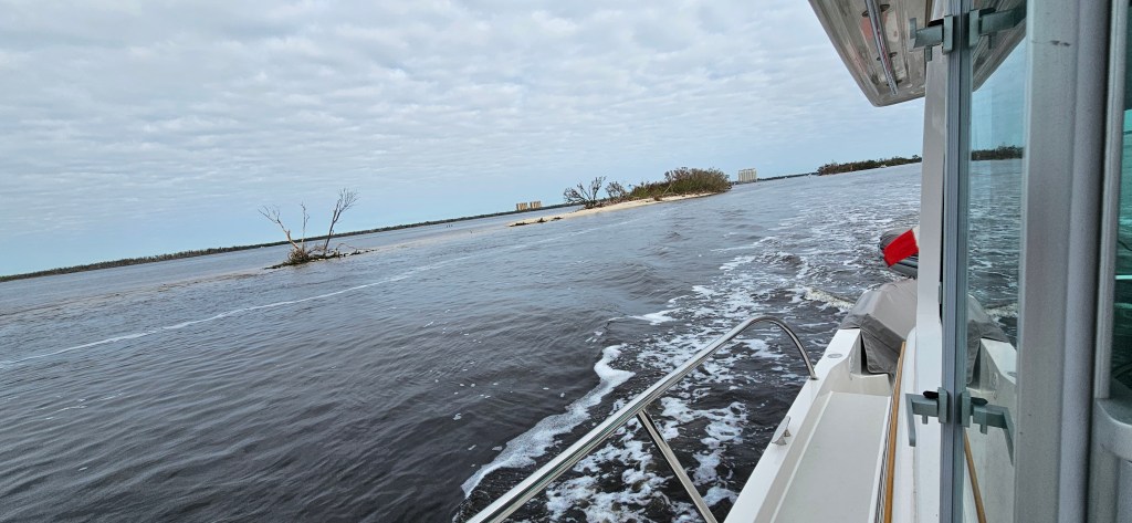
Traveling these long miles of twisting channels, needs your full attention. It helps to have 2 people at the helm; one to steer and the other with a set of binoculars to spot them and to confirm their buoy number, especially at bifurcation locations. Waterway Guide, one of several soft-covered guide books published to assist traveling rivers, channels etc., sends weekly email notifications announcing lock closures*, and missing or strayed buoys.
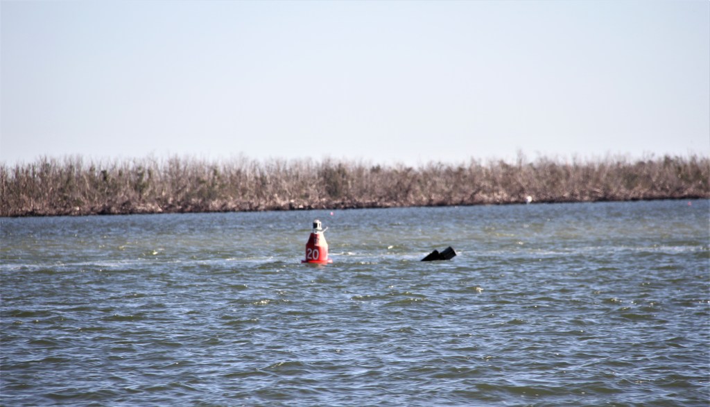
That day, we knew the channel was missing 2 markers. It was helpful to have that information because otherwise we might have wondered if we had left the main channel.
*We learned several days after locking through the Orono Lock, 5 miles downriver from River Forest Yacht Center, that the lock had been shut down due to mechanical problems. We were lucky not to have been stranded in the Okeechobee Canal waiting for it to be repaired. While sitting in the lock that day, we noticed the operator had made several attempts to get the gate to close.
PELICAN BAY: We had visited Pelican Bay last season. To revisit the blog, click here: https://wordpress.com/post/travelingamericasgreatloop.com/3913
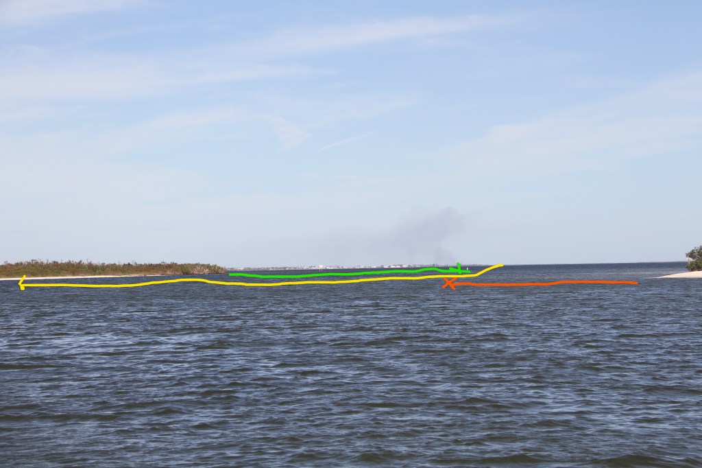
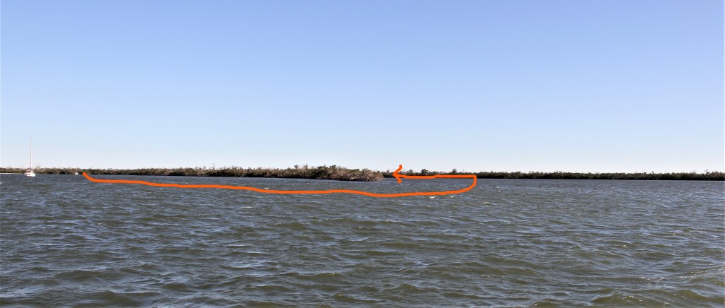
Entering Pelican Bay, boaters need to watch for sand-spits coming off the points, ( green and red lines above.) There are no marker-buoys here but guide books suggest, after entering, to follow the shoreline, and to stay 50 feet (yellow line), off the shore. 50 feet! It is one of those times you have to over-ride your brain warning you not to drive so close to land. (The source of the smoke on the horizon in the background is a burning sugarcane field.)
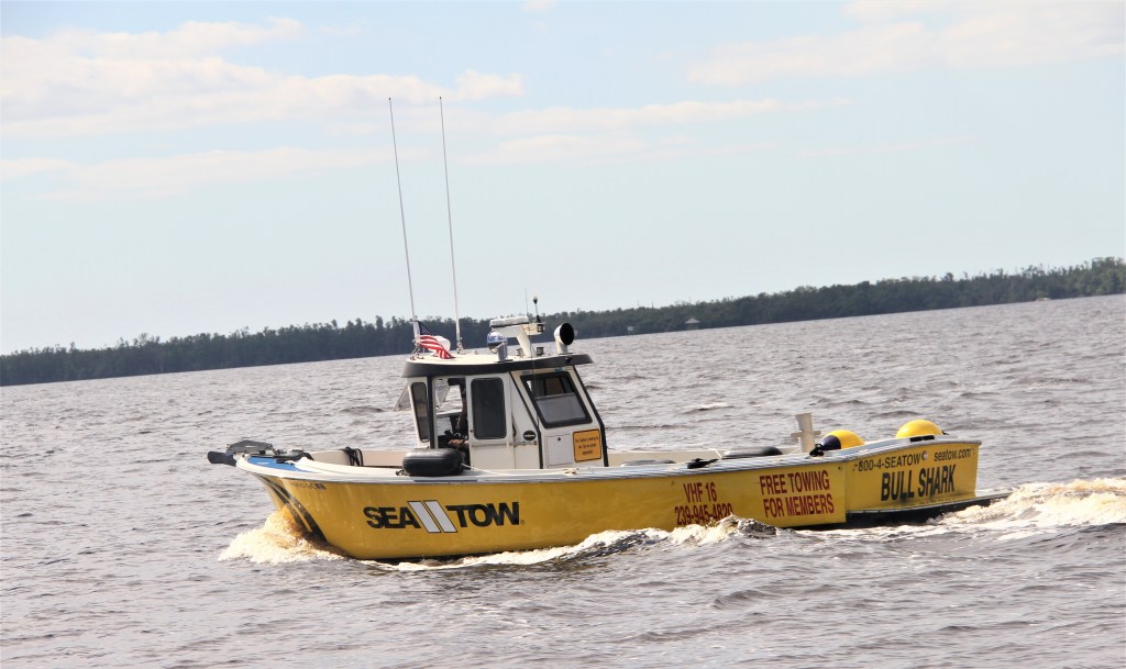
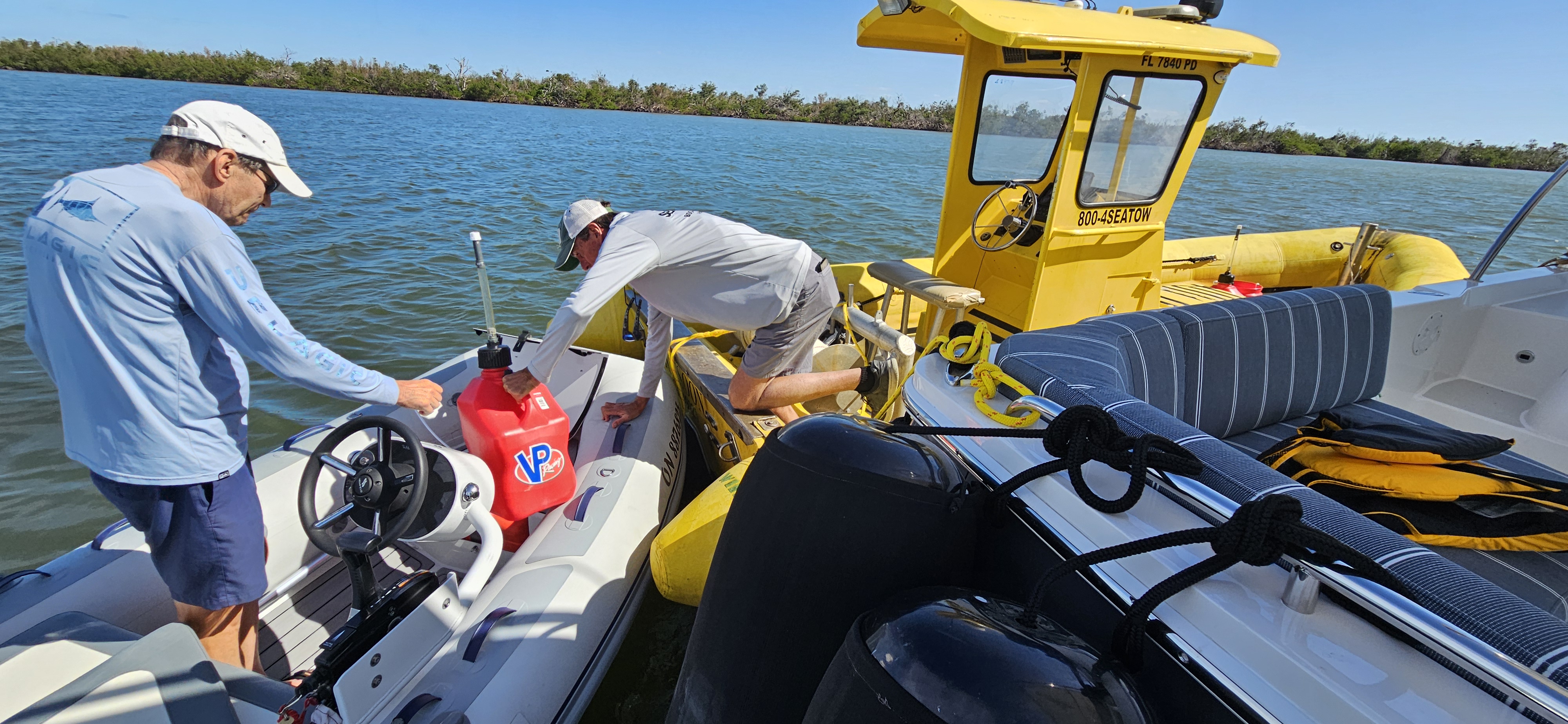
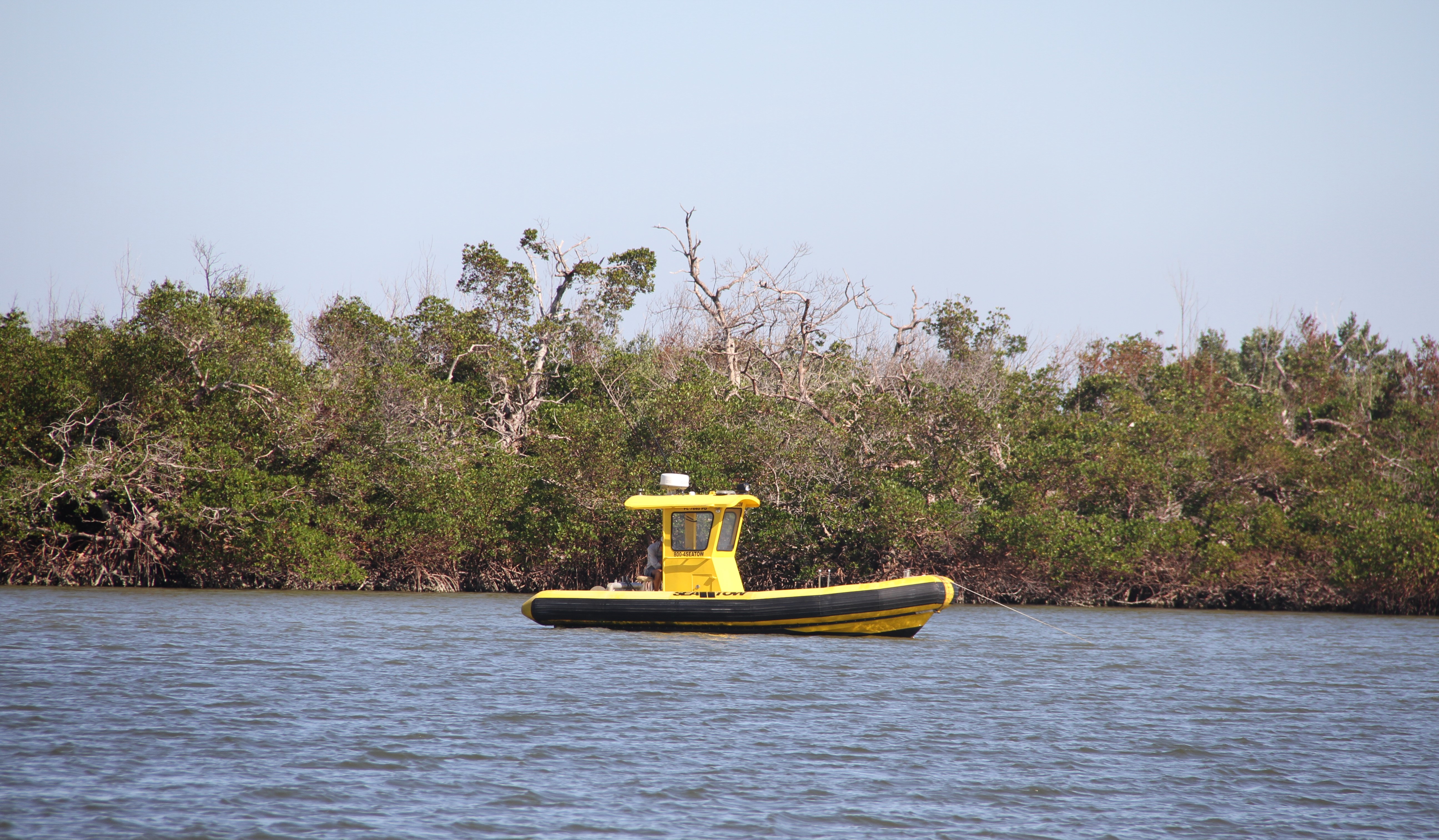
While staying 3 nights in Pelican Bay, we often saw a towboat sitting in the bay waiting to be called by some hapless boater. He told us the towing company was still moving between 25-30 hurricane-damaged boats a week to other locations. We bought fuel from him for our dinghy. The cost was $30. but if we had not been members of Sea Tow, a 24/7 towing service, it would have cost $300!
That evening, twenty-five mph winds were to accompany the first cold front of the season. In preparation for a wind change, (north to south), we moved the boat around the corner into a small, more protected inner bay.
Once the winds arrived, Mike was constantly monitoring the weather looking for wind-direction changes, and possible anchor drag. He slept in the salon where he could peer out the windows and be nearer to the navigation chart with anchor alarm overlay.
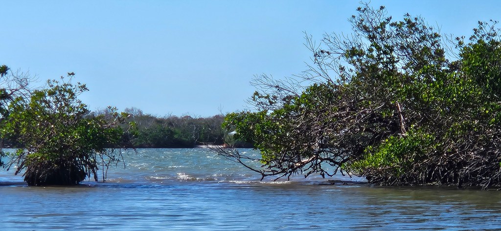
Due to the weather conditions, we were unable to motor to nearby Cabbage Key, (see last seasons blog), but when conditions calmed, we went looking for the entrance to a pond we had read about.
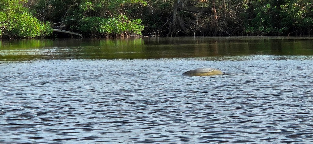
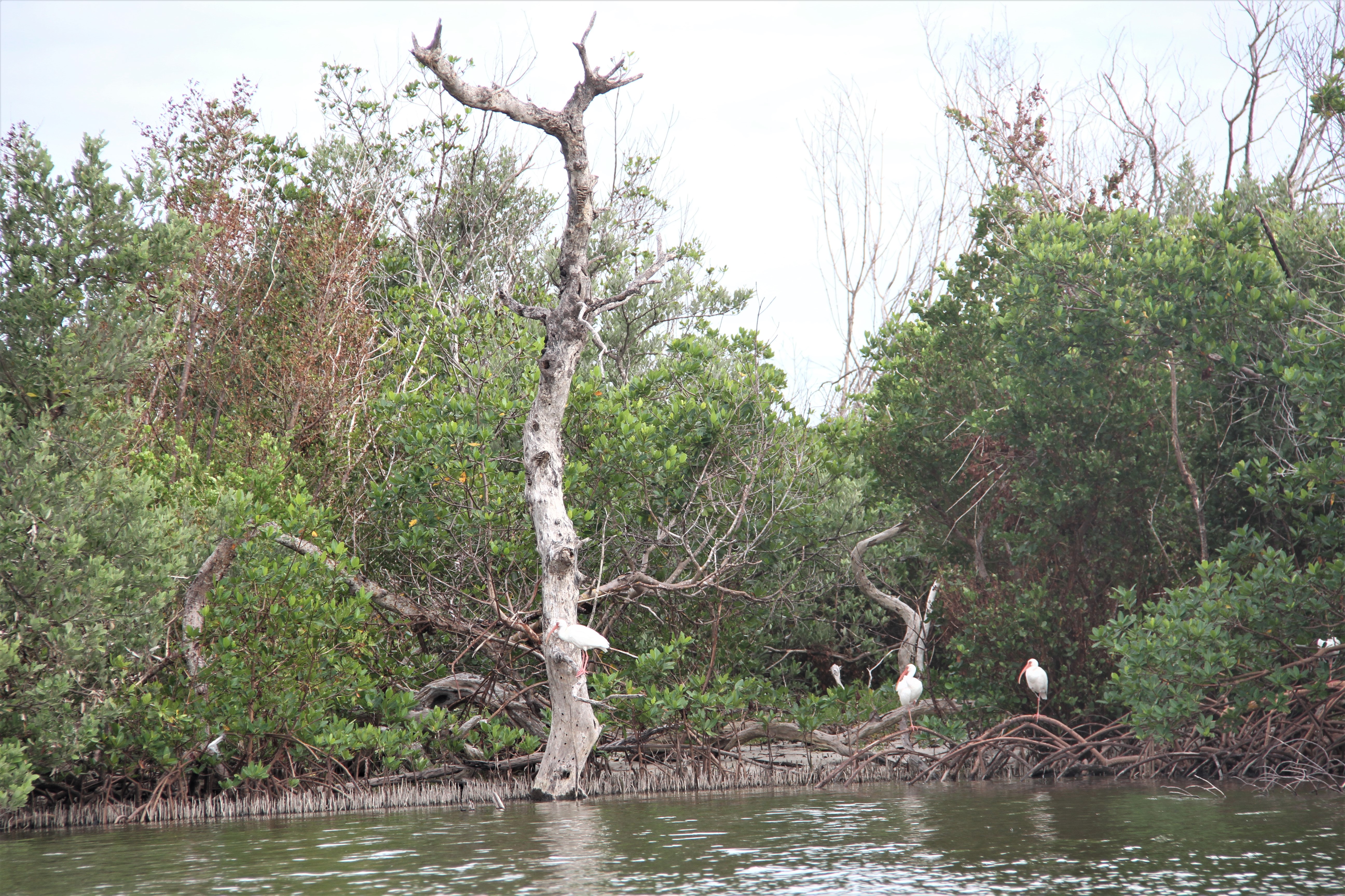
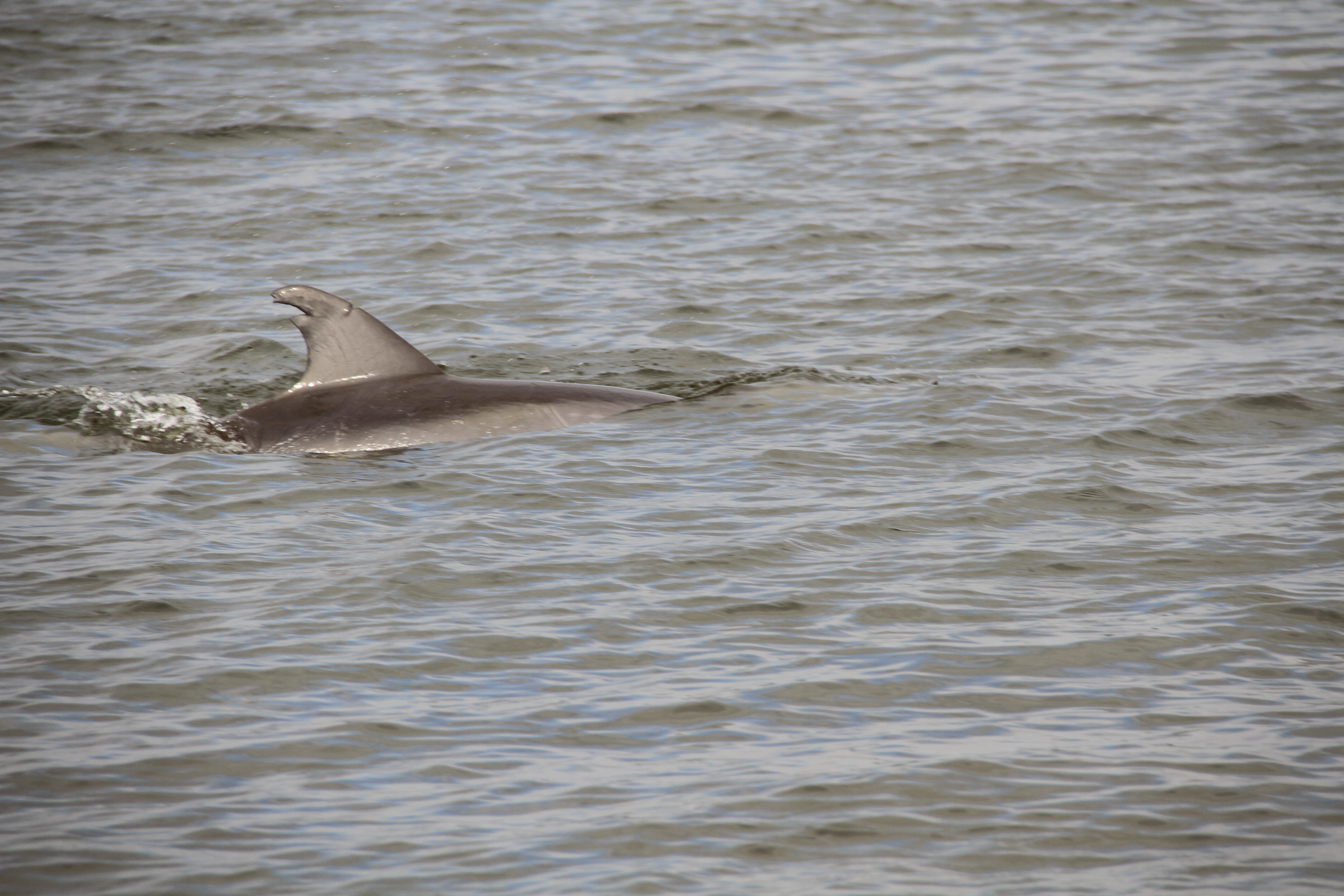
During our stay, we often saw the arced bodies of dolphins chasing schools of fish, and pelicans awkwardly plummeting from the sky in clumsy fishing techniques.
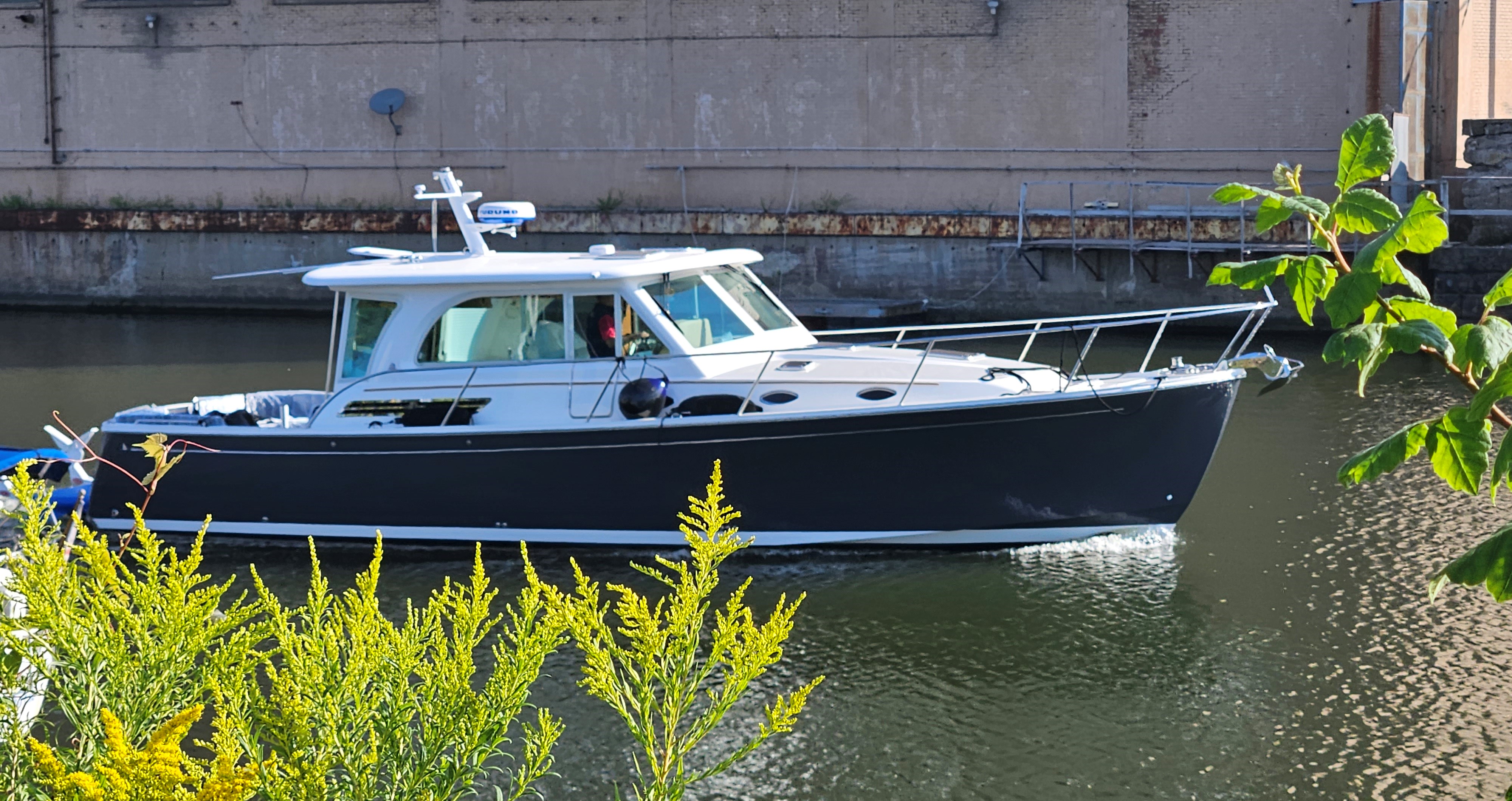
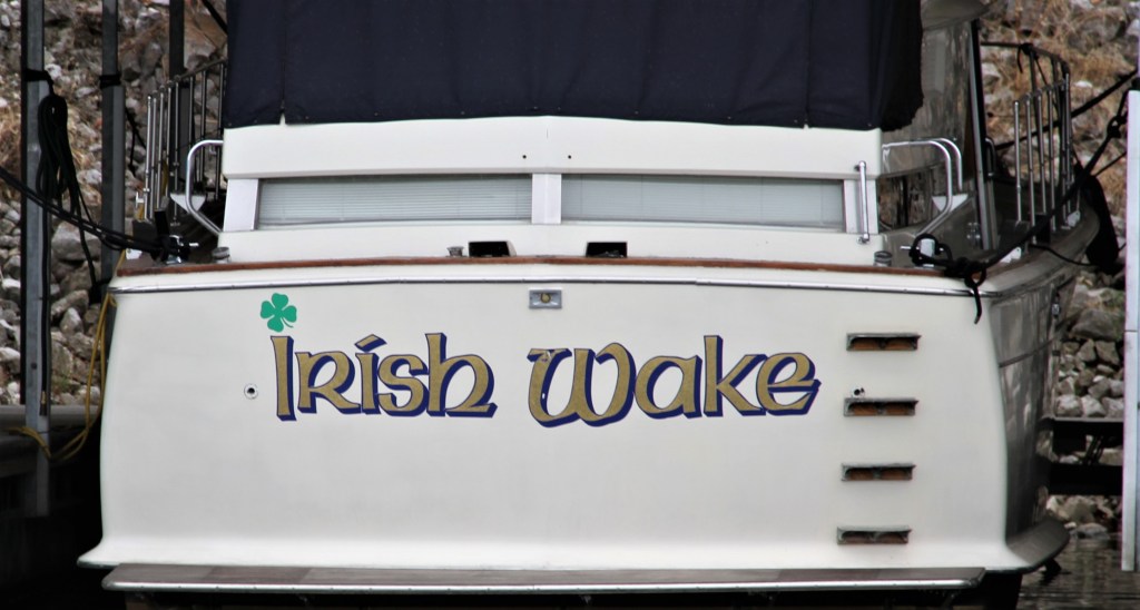
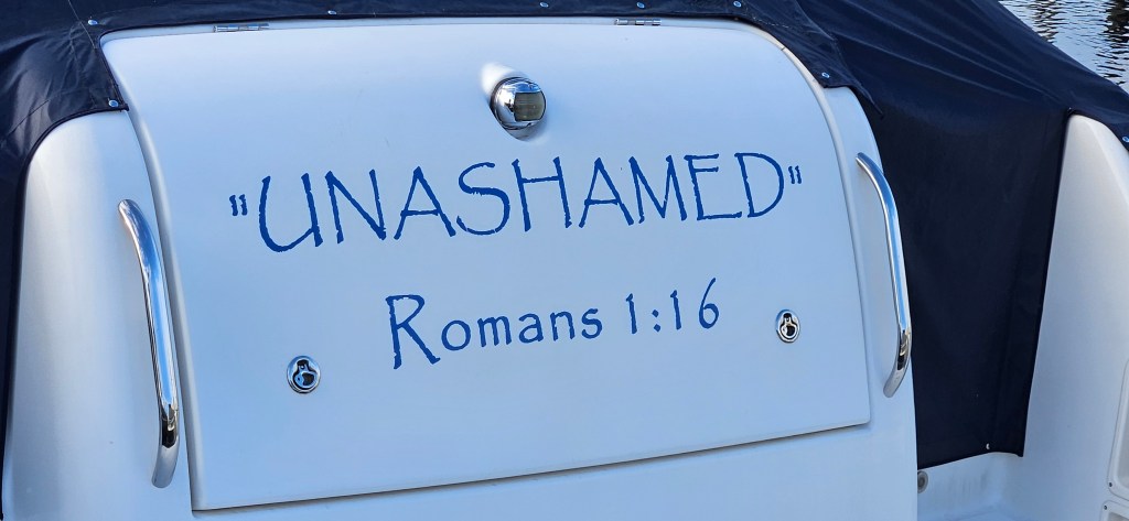
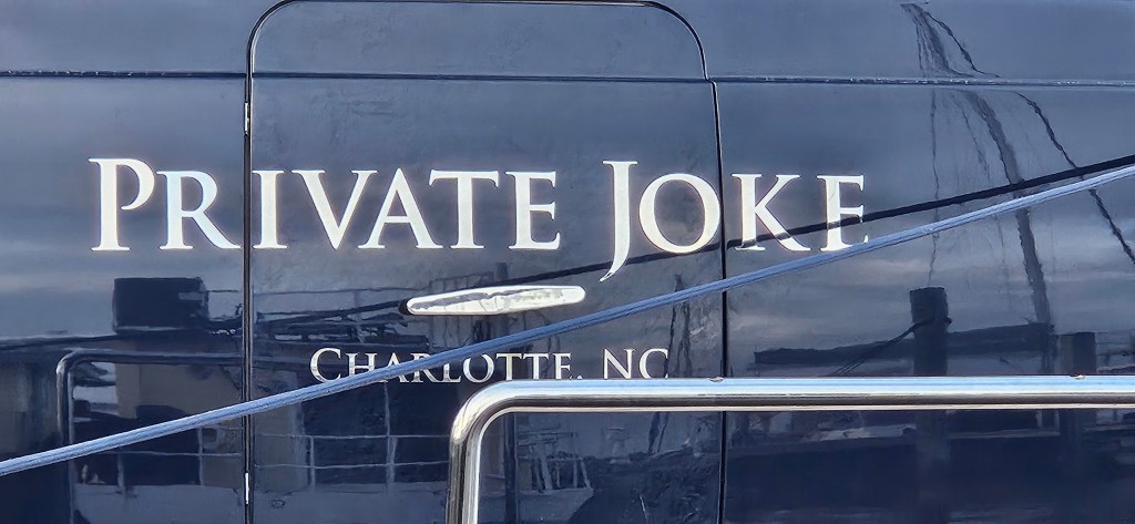
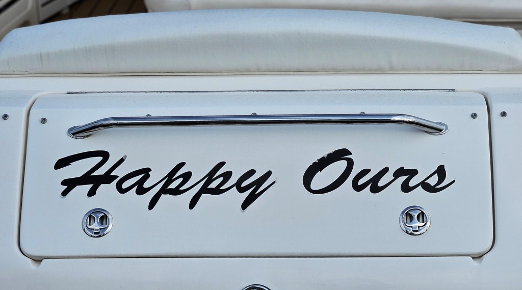
A COLLECTION OF BOAT NAMES

Leave a comment