Join us as we travel North America's rivers, waterways, and canals; visit U.S. and Canadian cities, historical landmarks, national parks and river towns. We may even take you to the Bahamas.
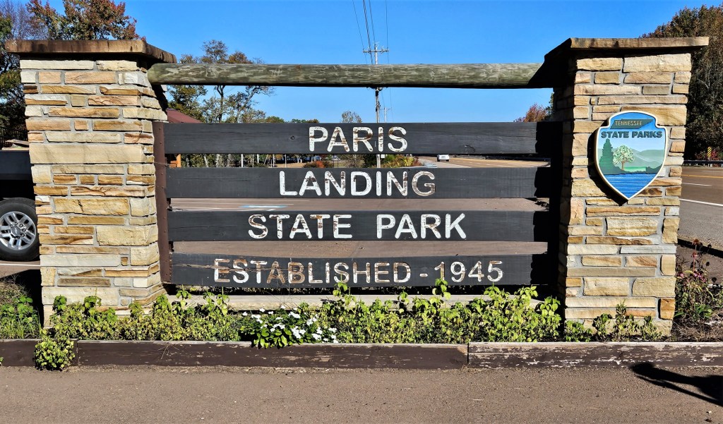
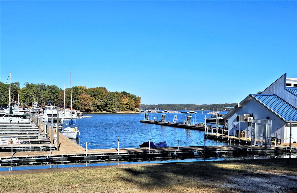
Paris Landing State Park, Kentucky Lake, Tennessee
Oct. 22; mile 66; today’s run: 43 miles
From Nashville, we retraced our route back to Green Turtle Bay, stopping again at Clarksville, and overnighting at Dover Island. After our friends left us in Green Turtle Bay, our next destination was Paris Landing on the Tennessee River.
Land Between the Lakes
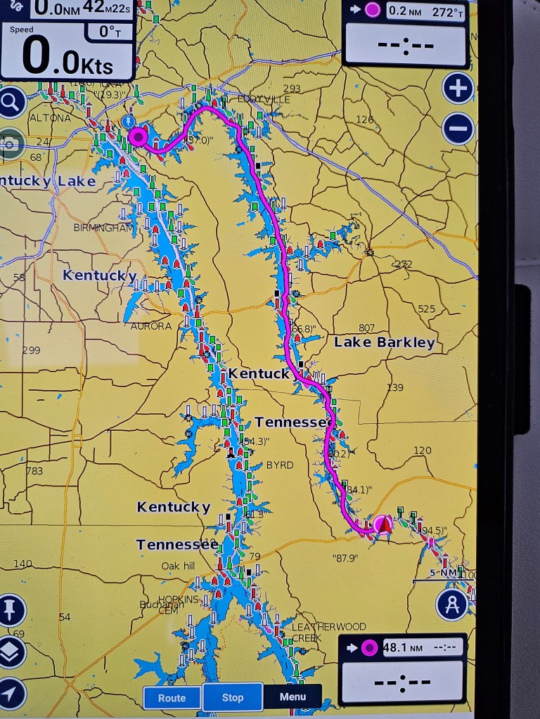
Lake Barkley, a reservoir above Barkley Lock and Dam, is one of several areas flooded by the Army Corp of Engineers to control river flooding, and to provide inexpensive electric power. While in the planning stage, the Tennessee Valley Authority (TVA) recognized that a large peninsula of land would result from the flooding. They specified that these 170,000-acres be set aside for a wildlife park and recreation. They called the peninsula, Land Between the Lakes. The peninsula runs between the Cumberland River and the Tennessee River.
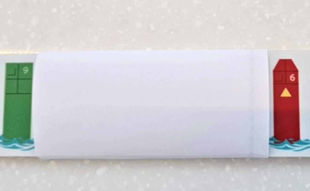
The pink line is the Cumberland River. Barkley Canal, a 1.5 mile-long canal connecting Barkley Lake to Kentucky Lake, a manmade lake on the Tennessee River, is marked by the pink circle. The Tennessee River is represented by the blue line. Land Between the Lakes lies between the two rivers. Barkley Canal (Photo courtesy of Bob Jones)As we left Green Turtle Bay Marina, we kept the red buoys to port.
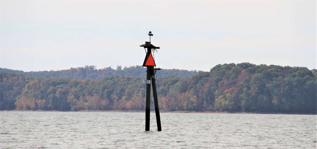
Within a few miles, when turning into the Barkley Canal, the red buoys were to be kept to starboard.
We now use an elongated piece marked with red on one end and green on the other that we keep next to the wheel. We turn the piece around when there is a change in the buoy system to remind us which side to take the red and green buoys on. It might seem like a simple thing to remember, but there are numerous times where you might see only one buoy instead of a pair of them.
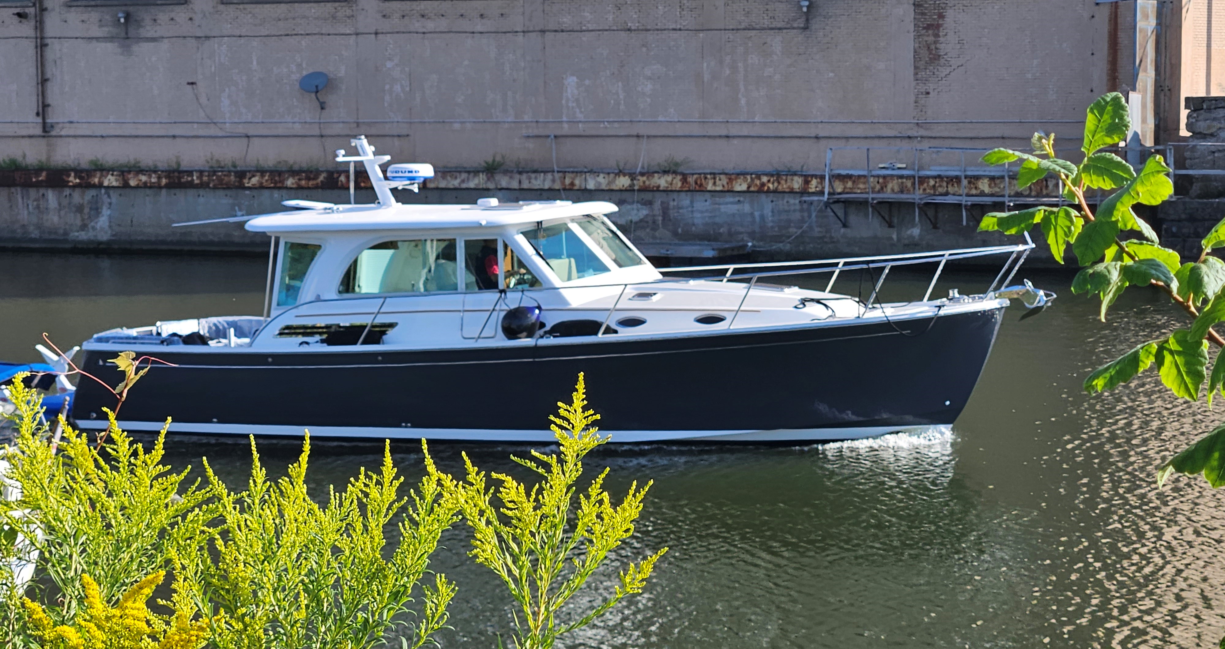
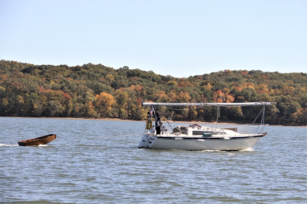
Kentucky Lake is one of the largest manmade lakes in the world (240 miles long). Sailboats need to take their masts down to pass beneath low bridges located on many of the rivers. Boats traveling the route of the Great American Loop, must not have an air draft more than 19.6 feet to pass beneath all the bridges that are on the route. That includes flybridges and communication aerials on power cruisers. Baccalieu II‘s air draft is 15 feet not including the antennas. We can lower our antennas with a push of a button.
The Tennessee River was named after a Cherokee town, Tanasi, which in earlier times, existed on the Tennessee side of the Appalachian Mountains. Geographically, the Tennessee River extends north to south but the water runs south to north. We are now running upriver as we head south towards the ocean.
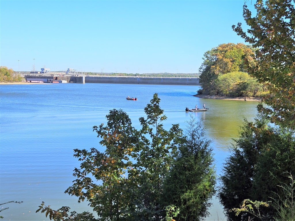
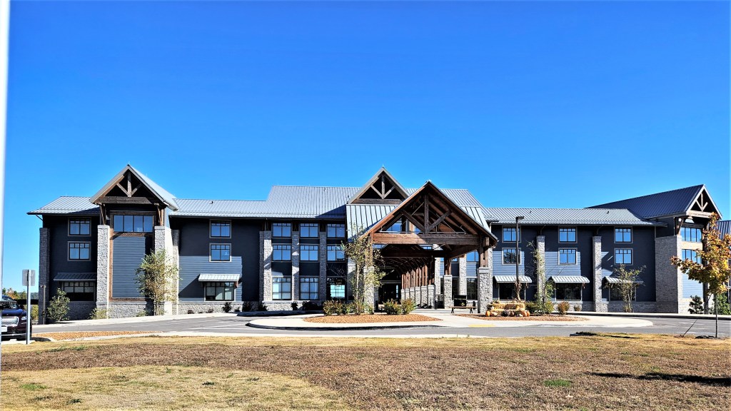
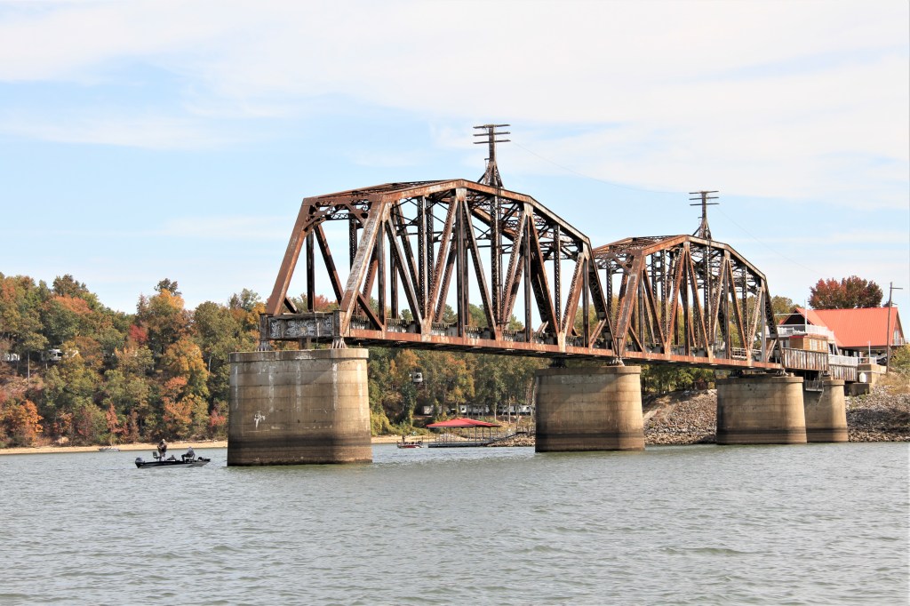
Paris Landing State Park was named after a steamboat and freight landing that had once served the nearby town of Pairs (1823). The town was named for the French capital in honor of Lafayette, a hero of the American Revolutionary War, who visited Tennessee in the early 1800s.The Landing was a strategic location for accessing the Tennessee River during the Civil War. Forts Henry and Donelson were located nearby. The town of Paris became a vital transportation and communication centre due to its proximity to the river.Walking trails lead from the landing to a newly constructed lodge. Mile 78: During the mid-1800s, the Louisville and Nashville Railroad (L&N) bridge, was built to span the Tennessee River. There had been earlier railroad bridges at this location than the one pictured above. This one was constructed in 1932. Eight years after its completion, the Tennessee Valley Authority flooded the area to create Kentucky Lake. The bridge was partially dismantled a few years after the flooding.
The town of Danville got its beginnings in 1860 when the L&N Railroad Company constructed the first bridge across the Tennessee River. The railroad connected Paris TN to Guthrie KY. Danville, a town of about 200 residents had a hotel, sawmill, general store, an apothecary, two churches and two saloons.
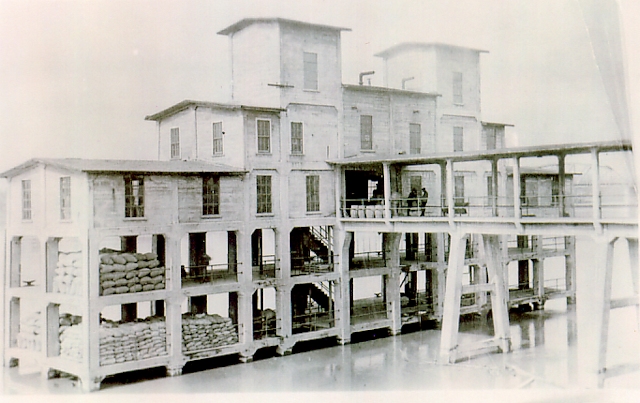
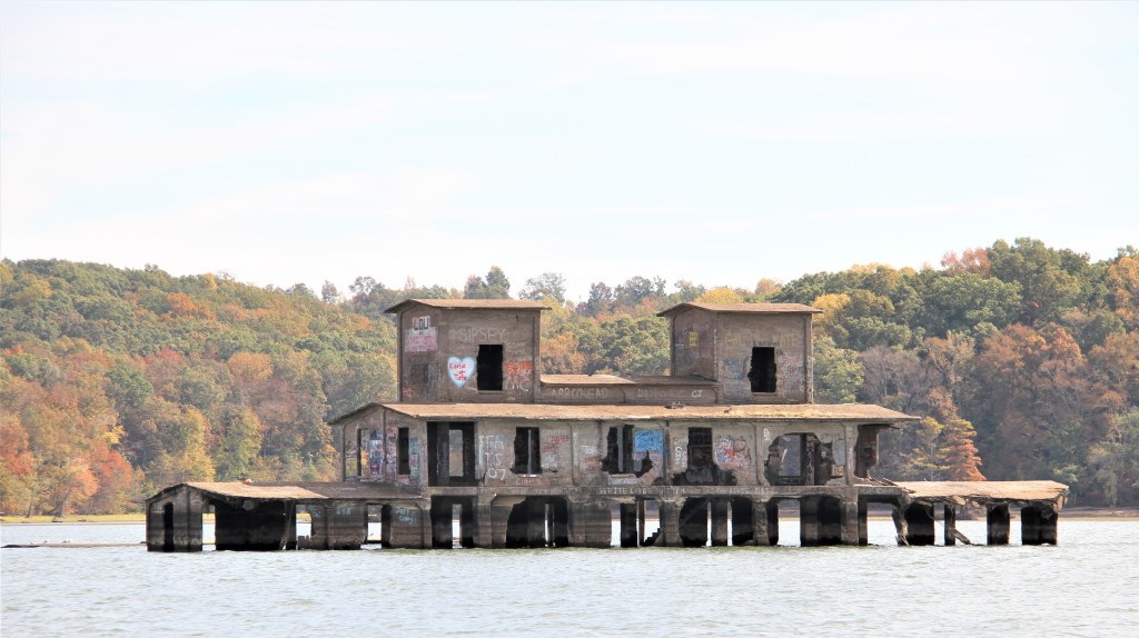
The L&N built a transfer station just metres from the bridge. It was used for loading and unloading freight between barges and railway cars. Elevators carried cargo from the lower levels to railcars located on the upper levels. Freight included corn, cotton, grain, limestone, iron, peanuts and mussel shells harvested from the Tennessee River en route to Japan (used in oyster production).During the flooding of Kentucky Lake, the water level rose 55 feet submerging all of Danville and most of the building that housed the freight elevator. The transfer station was so heavily constructed, the TVA left it standing. The remnants are located near present-day McKinnon.
Earlier, when we were visiting locations on Barkley Lake, a local warned, that if were planning to swim in the lake, we should not jump off the boat into the river. Entire towns, including church steeples and fence posts with barbed wire attached, lay beneath the surface.
Just finally got a chance to see your latest posting. Again fascinating history and pics. Glad you have locals to advise you about conditions along the way. I saw your email to Mike about your plans for the winter in FL and the Bahamas. If you are in our area we’d love to see you and catch up. In the meantime, safe travels on the boat and back to Canada. We leave for Minnesota on Friday to spend three weeks with our family and friends.
Fondly,
Pattie


Leave a reply to Mike Brennan Cancel reply