If you click on ‘Reader’ (upper right corner), you can view the blogs in a larger format. At any time, you can revisit earlier blogs by copying: travelingamericasgreatloop.com into your browser, or click here: http://travelingamericasgreatloop.com
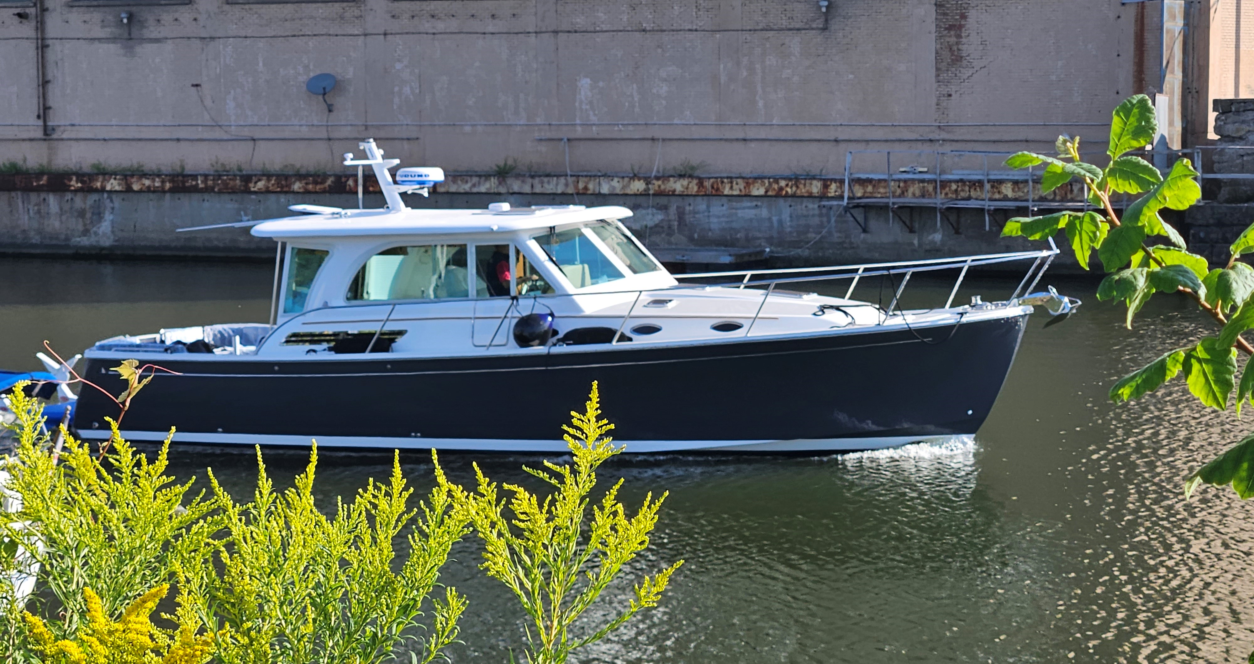
Feb. 29-March 2, 2024; Today’s Run: 93 miles.
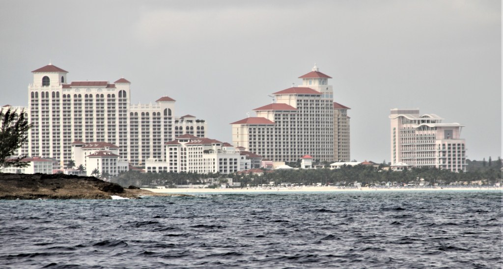
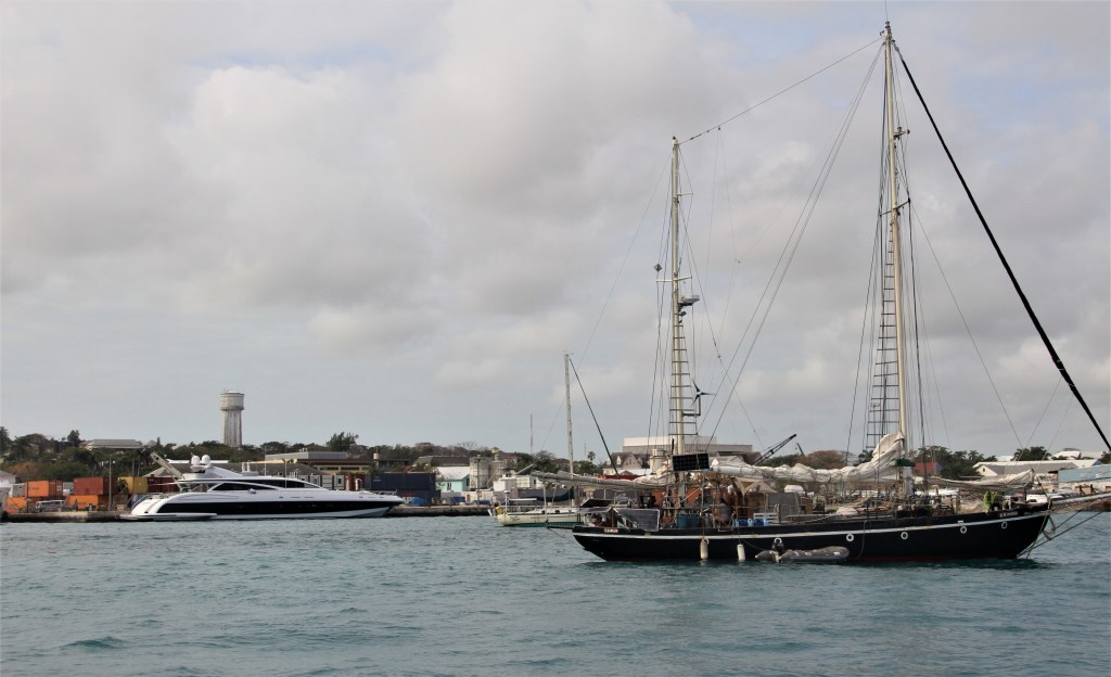
The following morning, we returned to the knock-about seas and headed for Nassau**, the capital city of the Bahama Islands, about 38 miles/2 hours distant from Chub Cay. Within an hour we were behind New Providence Island where the seas were considerably calmer.
*Established in 1959, many believe the Land & Sea Park was the first of its kind in the world. The purpose of it, was to prevent the West Indian Flamingo, (the national bird of the Bahamas), becoming extinct due to overhunting. In addition, IIya Tolstoy, the grandson of famed Russian author Leo Tolstoy and a dedicated naturalist, believed the Exuma archipelago was under threat from developers. He hoped to preserve the bird and other species. (In the early 1900s, following his move to the U.S., IIya served on the Caribbean Conservation Commission, and was cofounder of Florida’s Marineland and the Bahamas National Trust (for historic preservation.) Today, there are no flamingos on Shroud Cay, but the Inagua National Park, on the island of Great Inagua, has the world’s largest breeding colony with approximately 80,000 birds.
**Approximately 360,000 people live in the Bahama Islands; 65% of them reside in Nassau.
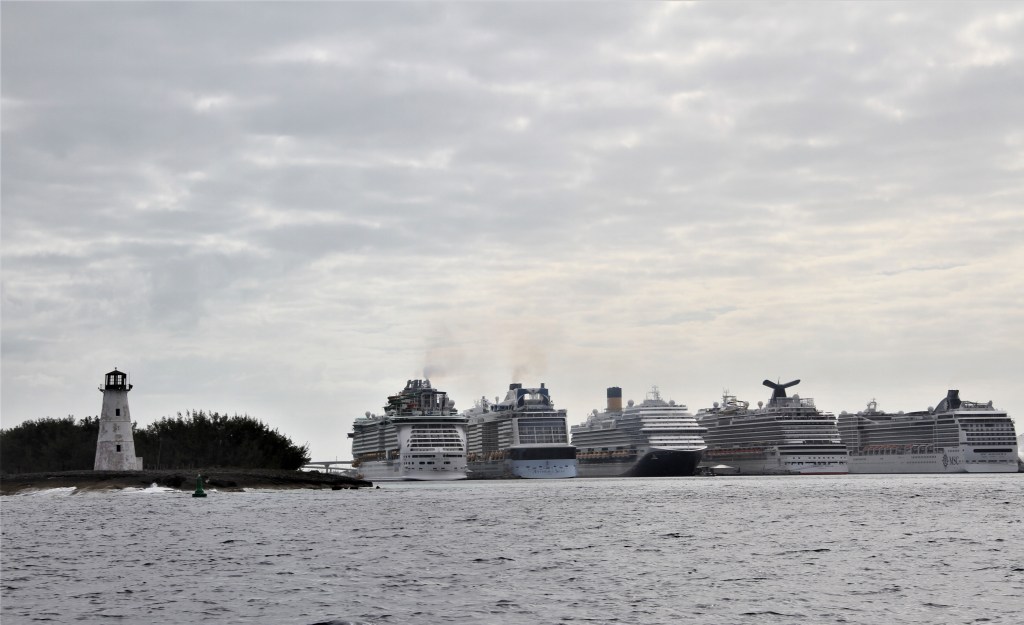
Before proceeding into the harbour, boats need to radio Nassau Harbour Control Centre for permission to enter. If cruise ships, or other large commercial vessels are maneuvering within the harbour, arriving boats will be asked to standoff until Nassau Control announces the all-clear.
The Control Centre requests passport information, last port of call, destination, if stopping in Nassau Harbour and if so, for how long. After stopping, you are required to inform the Control Centre of your next intended stop, if within the harbour, or if your intention is to leave the harbour. The Control Centre will issue permission to move when large commercial vessels are not maneuvering within the harbour.
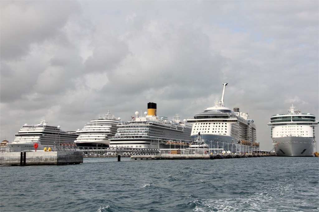
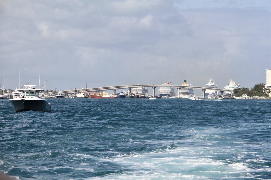
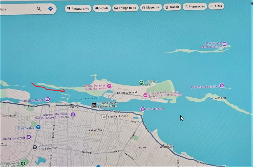
After taking on fuel, we proceeded out the eastern end of the harbour. In the background, 2 one-way bridges, side by side, connect Nassau to Paradise Island. The western-most bridge, the Sydney Poitier Bridge, is named for the famous Academy Award winning actor.*
LEAVING THE HARBOUR
At the west-end of the harbour, where we had entered, ocean depths are approximately 5000 ft./1525m. But leaving the harbour at the eastern end, depths shallow to approximately 8 ft/2.5 m.
*To read a short, but interesting biography of Sydney Poitier, click here: https://www.aaa.com/tripcanvas/article/the-tale-of-a-legend-from-cat-island-CM364
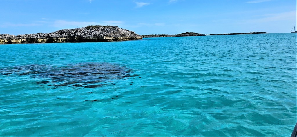
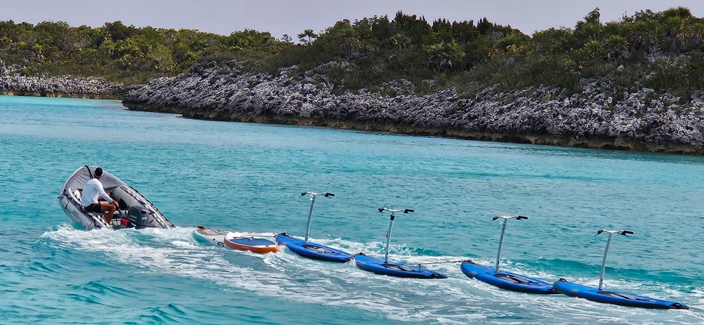
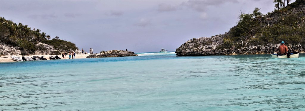
Fifty-five miles later, we arrived in the Exumas, a scattering of low lying, wind-blown islands stretching for 100 miles/65km . Most of the islets are not developed and at one time, were a major stopover location for drug- runners en route to the United States.
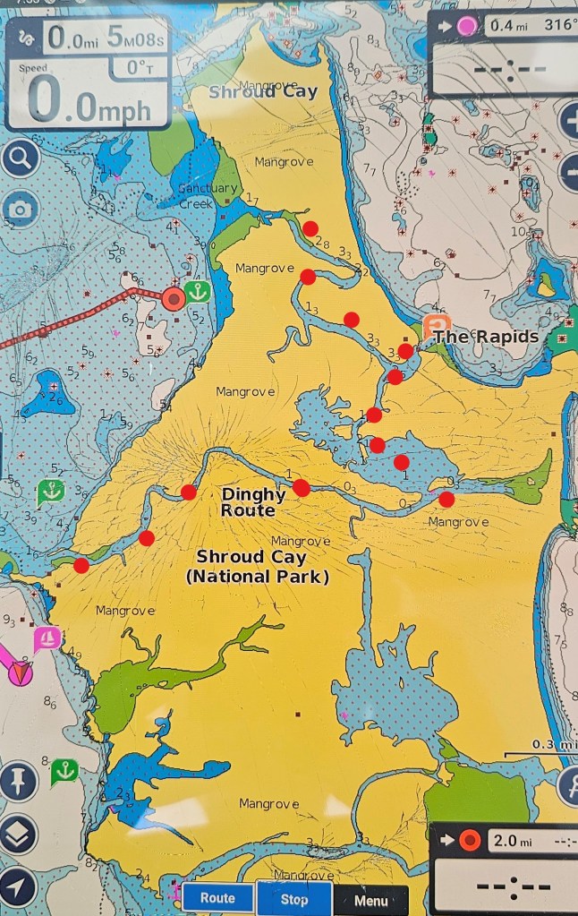
We picked up a mooring ball, indicated by the red boat icon on the chart below. The blue triangles indicate super yachts at anchor. The smaller, green icons are smaller cruising boats (equipped with AIS).
Mooring balls are not free; each require a daily payment fee. But if you purchase an Exuma Cays Land and Sea Park membership, ($50US.), which supports the park, the membership includes 2 free nights.
A southeast wind pushing waves into the anchorage, and a strong current funneling between 2 cays, made life aboard very uncomfortable. All night, we rocked and rolled like we were in one of those inflatable bouncy houses children experience at county fairs.
Despite the conditions, we set up the barbeque with a plan to celebrate our arrival to the Bahamas. But while stepping off our lurching boat into a tipsy dingy, Mike grabbed hold of the (cold) barbeque, and accidently tore it off its mounting. Disappointed that we wouldn’t be having the celebration barbeque that we had hoped for, he returned the unit to its storage bag.
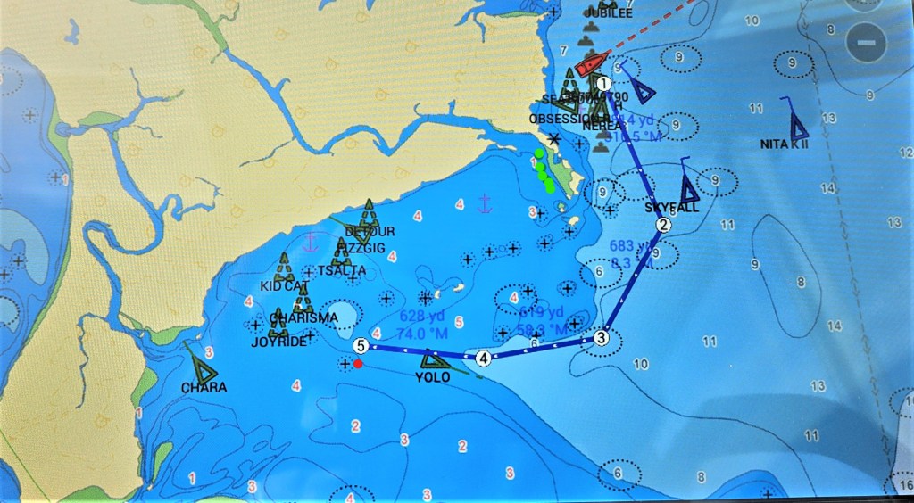
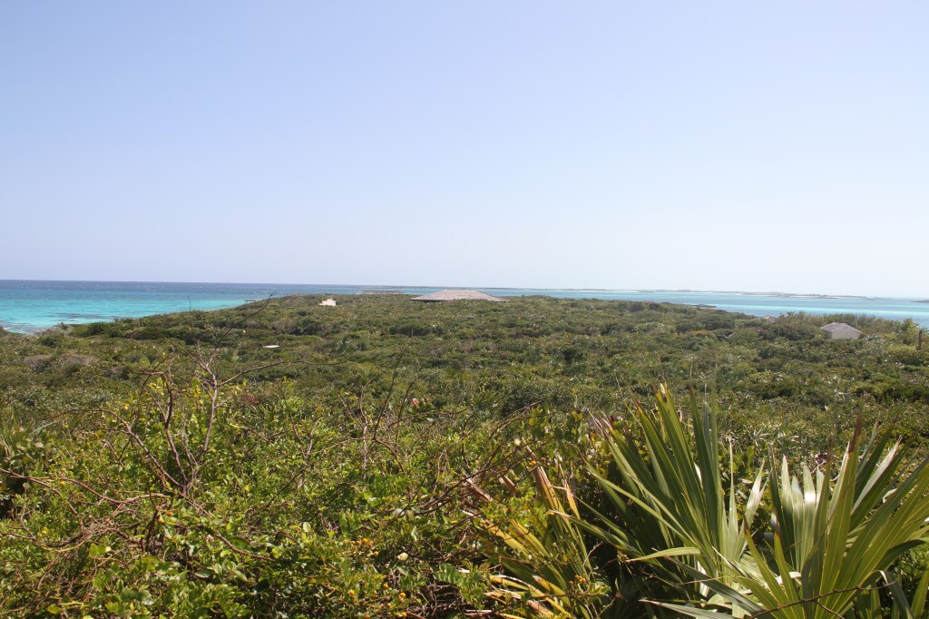
The following day, we moved to a new location indicated by the number 5 on the left side of the chart above. Here, a short peninsula-like outcrop, protected us from the waves and wind. We had spent two days, including transiting the Great Bahama Bank jostling about, and finally in calm waters, we thought we might begin to enjoy our stay.
We duct-taped the barbeque mount together, and planned to barbeque pork chops that night. But while taking the barbeque out of its’ storage bag, two of the grill plates fell, first dusting the floor in soot, and then speeding across the cockpit floor and out through the opened gate, they slid across the swim platform and into the water.
With some good luck, all was not lost; we still had two additional grill plates. But, while Mike was connecting a gas bottle to the barbeque, the bottle slipped from his hands and rolled into the water. By this time, I didn’t want him within 20 feet of my pork chop.
Despite loosing half the barbeque parts overboard, a second gas bottle, dug out from our stores, allowed us to have that celebration dinner after all.
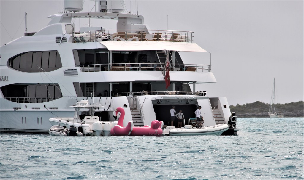
If you would like to see the interior of this yacht, click here:https://www.northropandjohnson.com/yachts-for-charter/skyfall-190-trinity-yachts
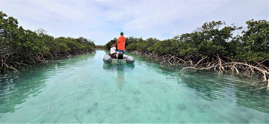
***Between 1978 and 1982, nearby Norman’s Cay was used by Columbian drug lord Carlos Lehder, to run a cocaine transport empire. The U.S. Department of Drug enforcement used Shroud Cay to observe the illegal operation. Lehder is one of the most important Columbian drug kingpins to have ever been successfully prosecuted in the Untied States.

Leave a reply to jockmacrae Cancel reply