Traveling the Great Loop

Join us as we travel North America's rivers, waterways, and canals; visit U.S. and Canadian cities, historical landmarks, national parks and river towns. We may even take you to the Bahamas.


Warderick Wells Cay, Emerald Rock, Exuma Cay Land and Sea Park, Bahama Islands

March 3, 2024; Today’s Run: 21 miles.

Highbourne Cay to Warderick Wells:

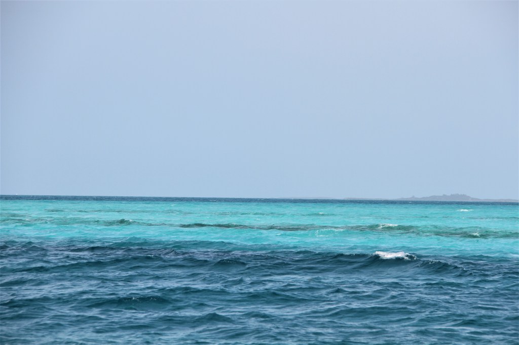
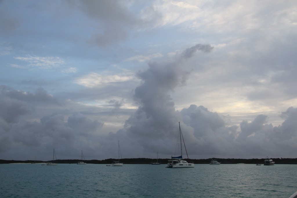
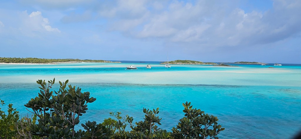
Leaving flat sea conditions in Shroud Cay, we moved to Emerald Rock anchorage at Warderick Wells Cay, the main island of the Exumas. The 2- hour passage had been a rough one.

When we arrived to Emerald Rock, we were not happy to see ocean swells rolling into the South Anchorage where we had planned to drop anchor or tie to one of the park’s mooring balls. The weather was not what was forecasted.

Mooring balls are first come, first served. Each buoy is identified by a number. After tying to a ball, boaters radio Warderick Control Center located on the island, to report the buoy number. There is a charge for using mooring buoys and also for anchoring. ( The government gives no funding to the park).

Warderick Island, has a more protected anchorage, (North Anchorage, Warderick Wells), than the one where we were currently located.

To obtain mooring reservations in Warderick Wells, located just around the corner, boaters need to call on VHF 9, (Control Center), at 9am a day ahead to add their name to a list. Only after boaters inform the Control Center that they are leaving, does the coordinator know if a ball will be available. You might not hear back until the following day.

The Control Center.

We spent another bouncy day while waiting to hear if a ball had come available in Warderick Wells anchorage. To take a break from the constant motion, we took the dinghy to shore for a walk.

We had hardly started our walk when we saw some unfriendly weather approaching. We returned to the boat and moved to a 2nd mooring ball putting more distance between us and the nearest boat. (During our around-the-world voyage, on two separate occasions, sailboats broke loose from their anchor holds and crashed into us.)

During the evening, lightning flashes warned of a coming rainstorm; we welcomed it for its freshwater rinse-off. But so did winds increase accompanied by multiple wind directional changes.

If we drift beyond a certain distance, (in this case, 26′), an alarm sounds a warning that our anchor has dragged or we have broken loose from a mooring ball. It also documents the swing of the boat as seen above with red and green lines. The blue image is our boat, the anchor indicates where we have dropped anchor, or in this case, the location of the anchor ball.
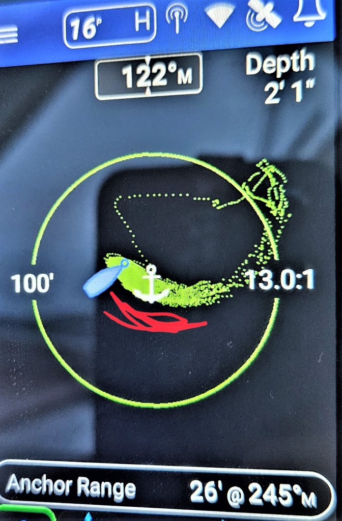
The red lines identify our swing during a night without high winds or strong current. The green dots is the night we swung like a drunken banshee.

The boat rolled uncomfortably, and when the tide changed directions the motion was at its worse. Surrounding noises magnified: creaking, slapping water, rushing currents. It was almost unbearable without wearing earplugs.

When Mike moved to the salon, I took over the bed and laid across it rather than in the usual head-to foot direction. This eliminated me rolling from side to side even though earlier, I had stuffed pillows around my body. In my new sleeping position, I rocked head-to-foot; under the circumstances a more comfortable posture. But the noise was disturbing, and eventually I joined Mike in the salon. It was one o’clock in the morning and I noticed that boats that had been lying off our bow, were now off our stern. That meant there had been an unusual 360° wind change.

The following day, we learned that a mooring ball was available in Warderick Wells.

The narrow entrance at Warderick Wells.
The black icons are mooring balls. At low tide, the approach is shallow and narrow; boaters need to keep between the moored boats and the shore, (indicated by the red line), while navigating to their assigned mooring ball.

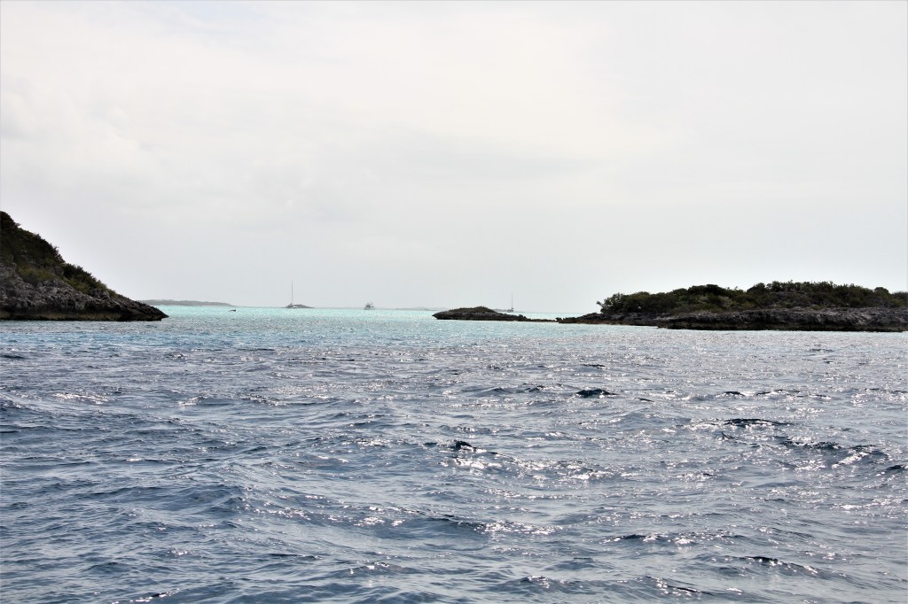
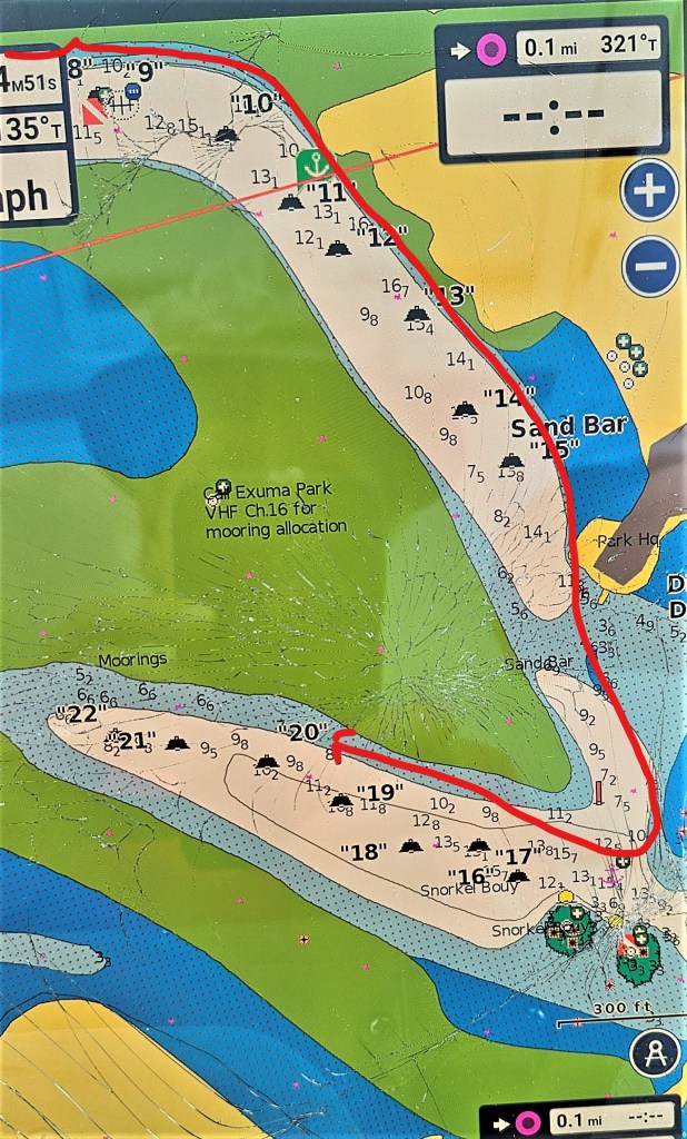
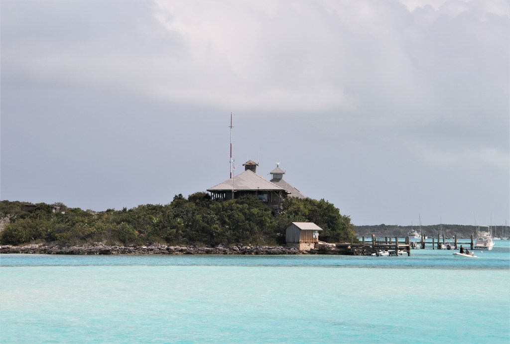
Sherri, the park office coordinator, is situated in the Control Center high above the water where she can observe boaters entering the  buoyed entrance. She offers directions over the VHF radio, (there is no cell service), how to navigate around coral and sandbars to reach your assigned mooring ball. She is sort of an air traffic controller in the boating world.

Here, we were protected from ocean swells, and N to NE winds. Thankfully, the boat laid flat and quiet. But tidal currents can rip through here pretty fast.
One day, when I was about to go for an evening saltwater plunge, the ripping current plus the friendliness of two nurse sharks, made me think otherwise.  (We often float a line off the stern while in an anchorage. It serves as a retrieving line when we return to the boat by dinghy, and also a grab-line if swept by a current while swimming.) Nurse sharks are generally non-aggressive, but if they mistake your wavering hands and feet for fish food, they might bite.

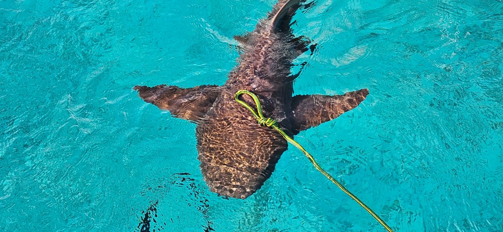
A day later, while Mike was swimming, he spotted a whitetip shark approaching, he got out of the water pretty quickly; whitetips are known for their aggressive behaviour. It’s one thing to scuba dive with them but to be on the surface with hands and feet flapping about, mimicking fish movements, is taking a bigger risk.


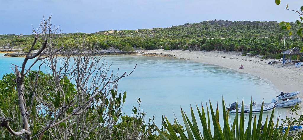
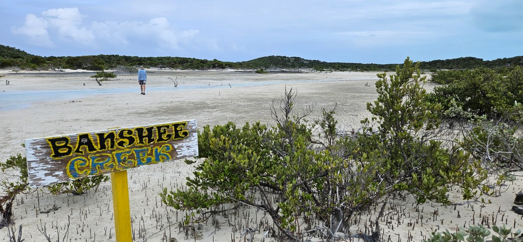
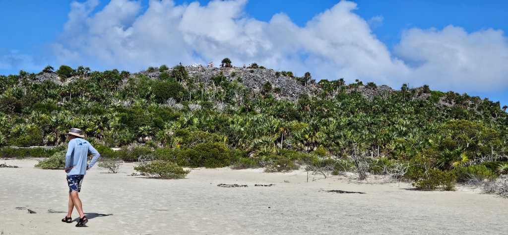
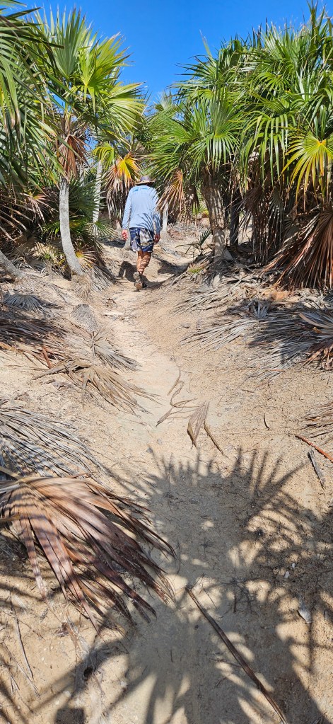
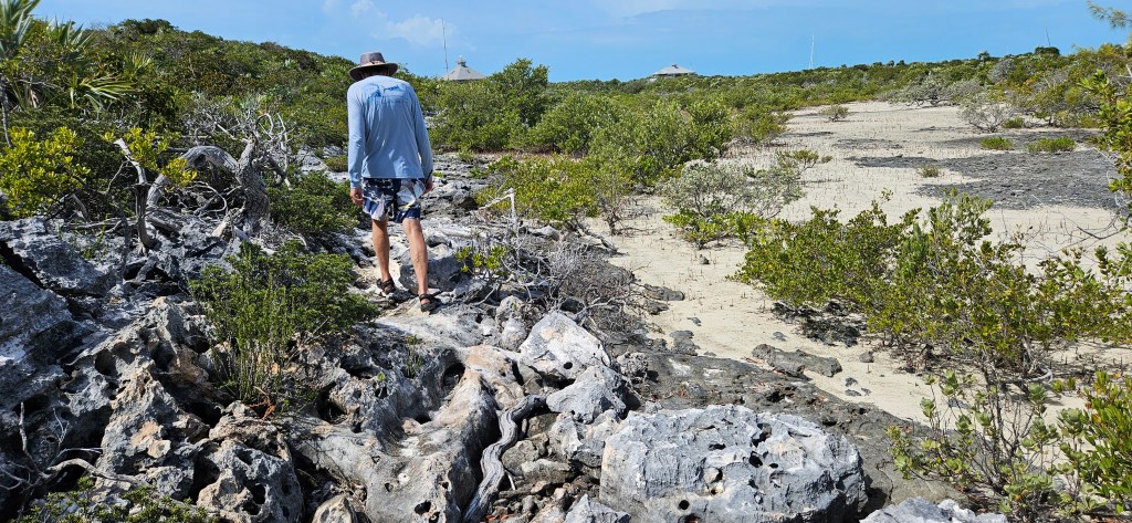
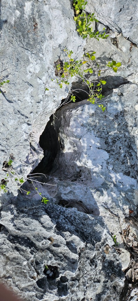
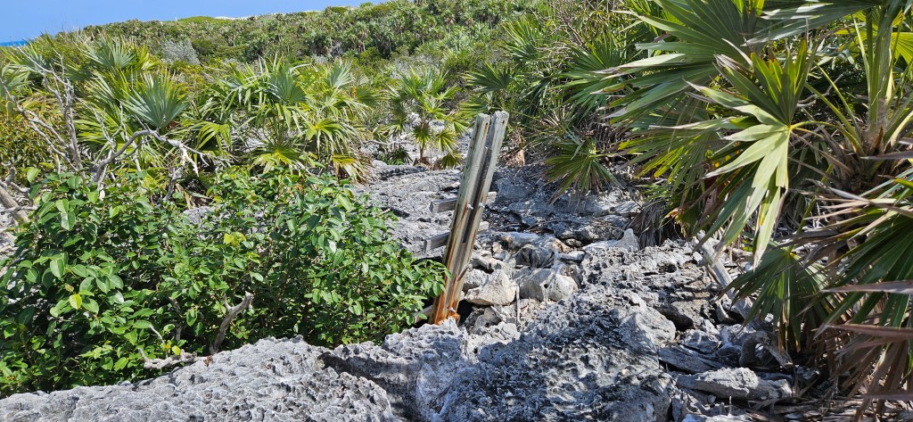
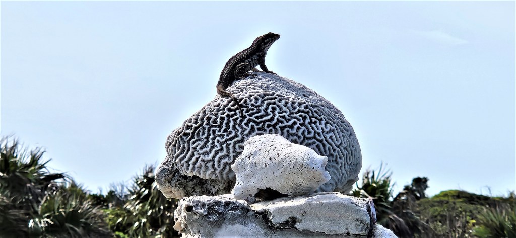
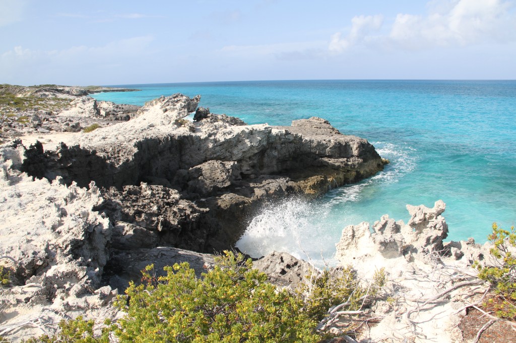
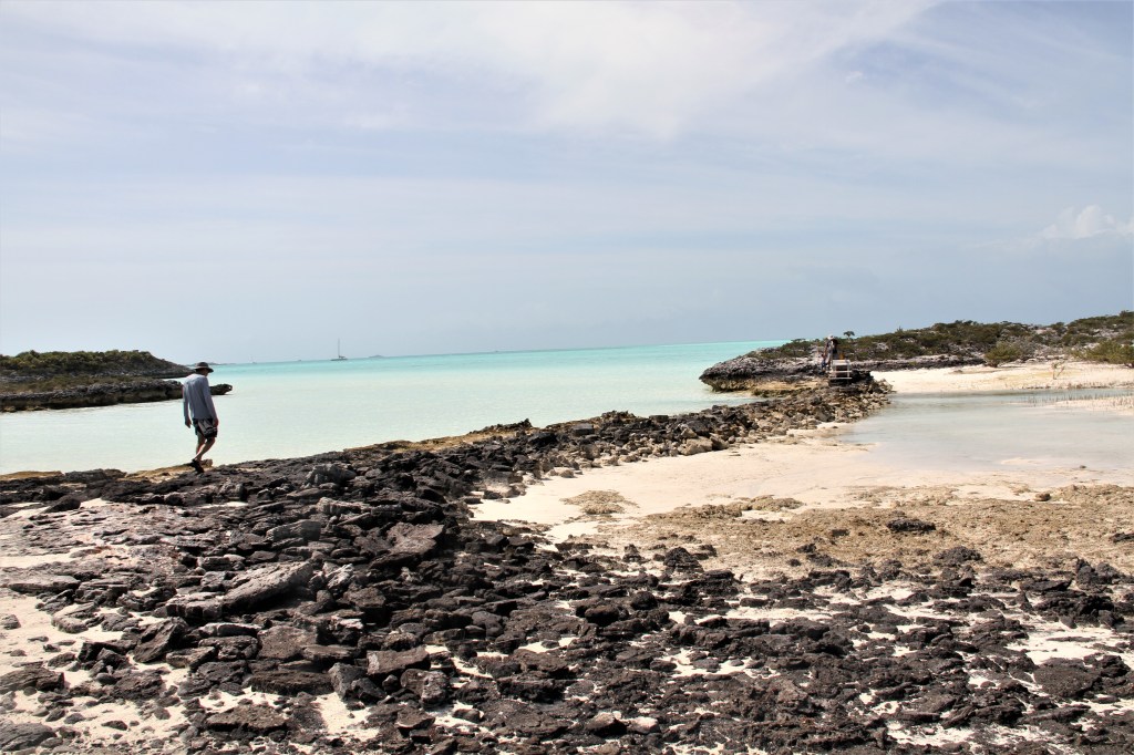
Warderick Island offered an opportunity to go for a lengthy walk. We were ready for one.

This skeleton is a reminder to visitors to be respectful of nature and to be mindful of how to dispose of plastics and other trash. This sperm whale apparently succumbed from ingesting plastic.
We crossed the nearly dried-up tidal Banshee Creek, and headed to the top of Boo Boo Hill, (in the background).

We walked around mangrove forests and…
…deep, narrow crevices that that you could, if not careful, stumble into.
Crevices with larger openings were sometimes marked with long sticks.
Exuma Sound
At the top of Boo Boo Hill lays a pile of rubble, a collection of driftwood pieces that beach walkers have gathered and printed their boat and crew names onto. Someone had gathered extra wood pieces and left a marker pen; we added Baccalieu’s name to the pile.
Arriving back to the boat, we sat on the swim platform cooling our feet while keeping an eye for sharks. It’s easy to spot them in the crystal clear water. (Oops!,they could have approached unseen from underneath the boat!)
During early morning low tide, boaters with coffees in hand, take chairs to a nearby sandbar. In the evening, it’s a great place to share a sundowner.

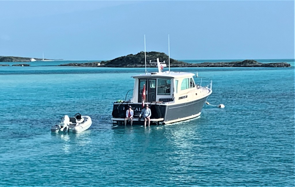
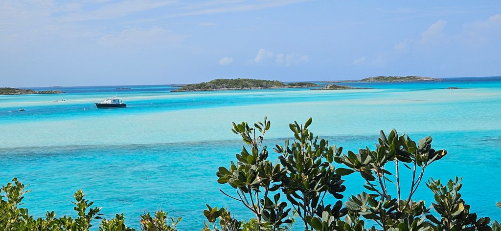
At the Emerald Rock location, mega yachts anchor in deeper water. They need lots of swing room. Nassau is just 40 nm away, less than one hours trip for some.

Stay Salty: 49m/160 ft. During a refit, her dinning room furniture was replaced with a roulette table. There are plenty of other areas onboard to eat.
T6 , an explorer, steel yacht design with helicopter pad: 48.5m/159 feet, draught 3.76m/12.34 ft. Cruising speed 16 knots with a range of 11000nm. Not for charter.
Moonraker: 47m/155 ft. features a jacuzzi on the foredeck and a helipad. Notice her ‘garage’ at the stern is open. It houses a 6m/20ft jet tender, (a larger limonene tender would also be available), 2 Wave runners, 2 SeaBobs, inflatable toys (slide etc.), skis, wakeboards, kayaks paddleboards, fishing equipment, scuba equipment and more.
After You: 54m/180ft; top speed 24 knots. 12 guests, 13 crewmembers. Swimming pool with waterfall. For charter: from $350.000 per week. That number probably does not cover food & wine.


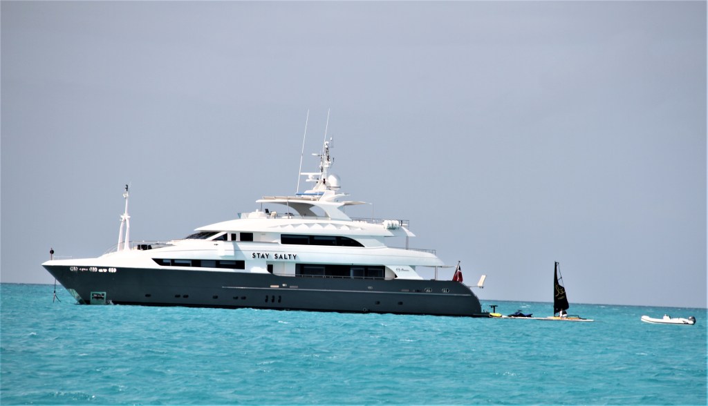
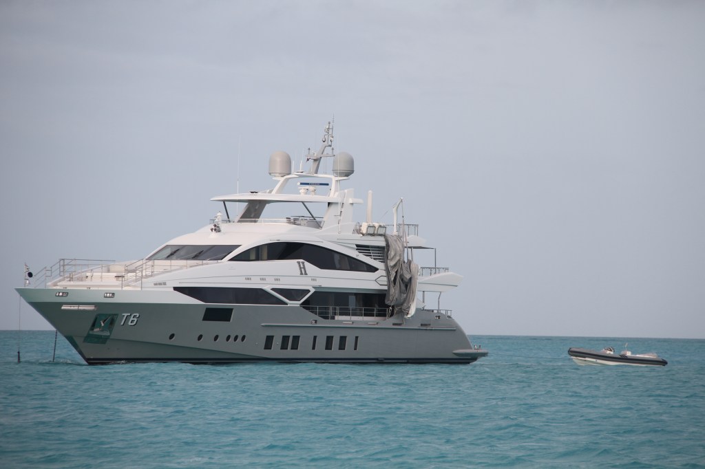
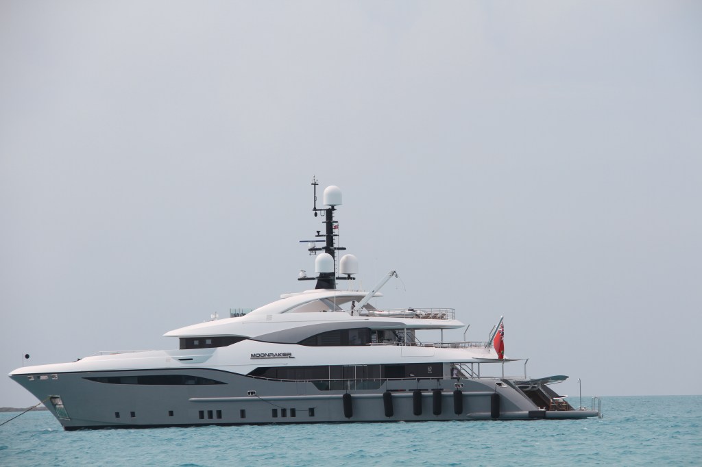
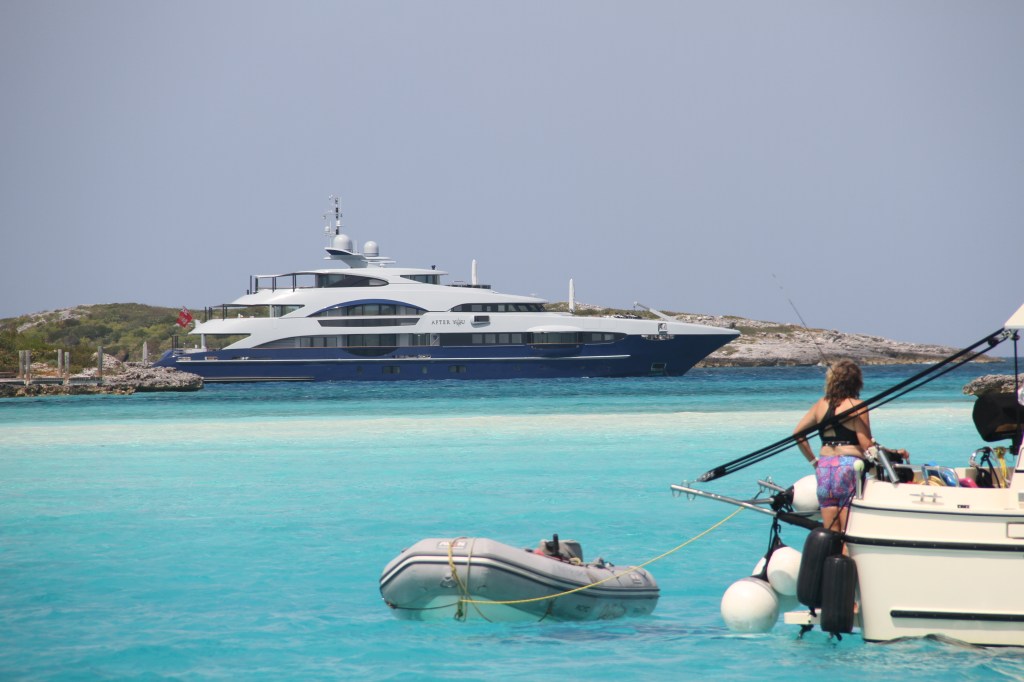
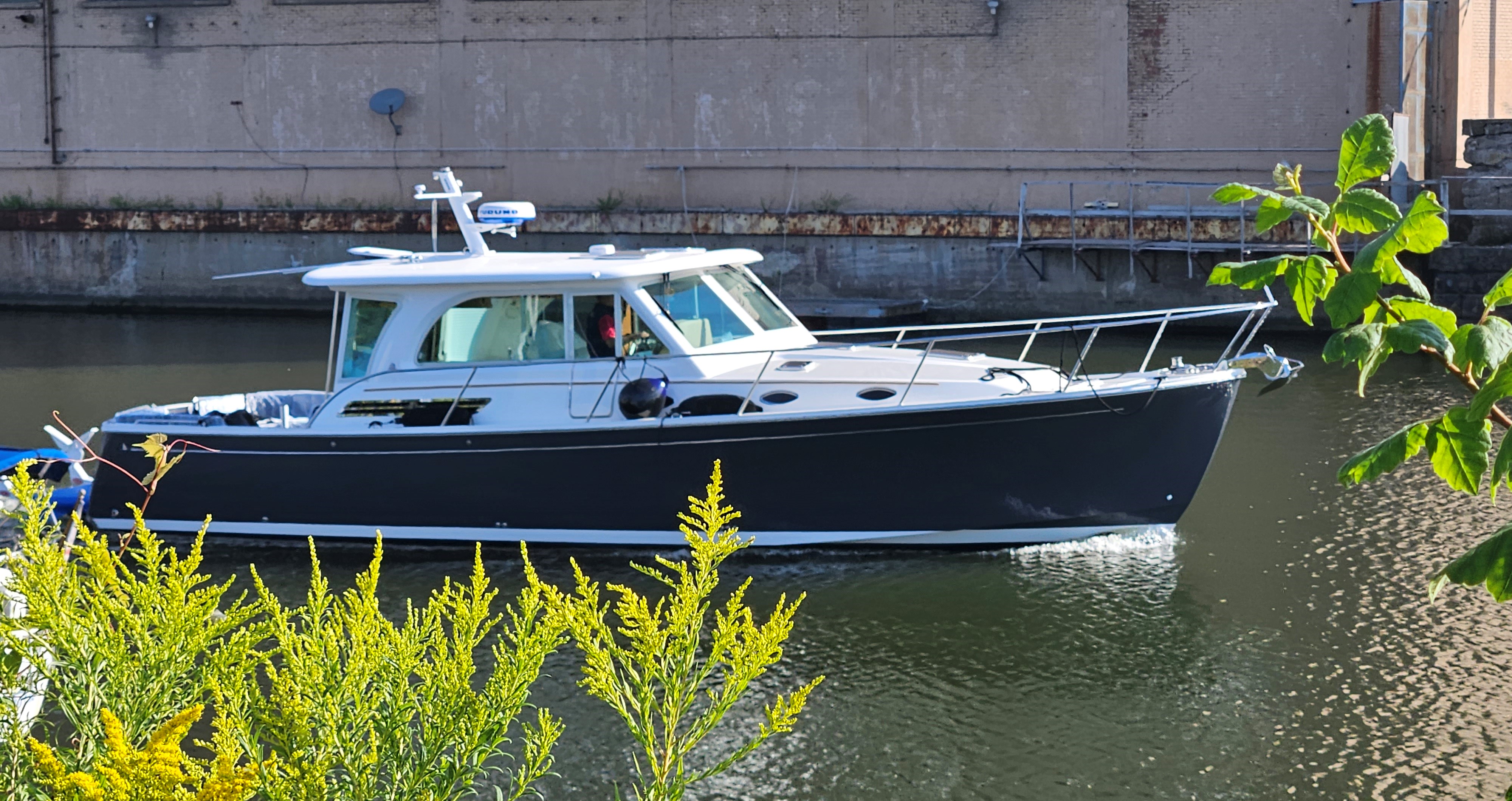
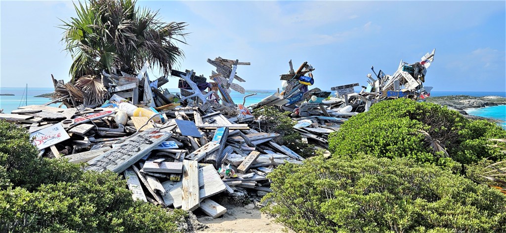
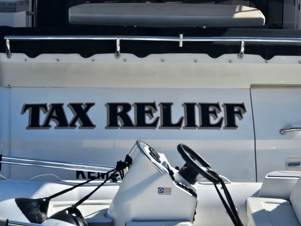
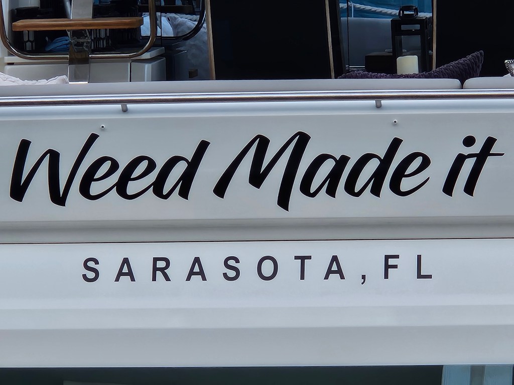
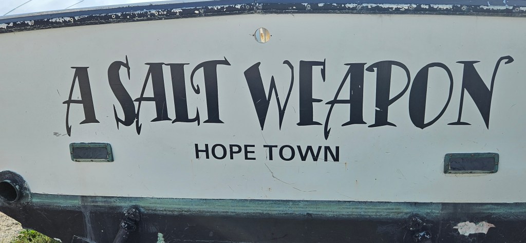
A COLLECTION OF BOAT NAMES


2 responses to “Warderick Wells Cay, Emerald Rock, Exuma Cay Land and Sea Park, Bahama Islands”

  1. serene42404a6f79 avatar
    serene42404a6f79

    Thanks for sharing your experience. The pictures of the island were magnificent and hearing about waiting for a place to anchor was amazing.
    Look forward to your next post. Safe and happy boating!
    Jean
    Sent from my iPhone

    Like

    1. Thank you for replying Jean. I’m glad that you enjoyed the post.

      Like

Leave a reply to 117gbl Cancel reply