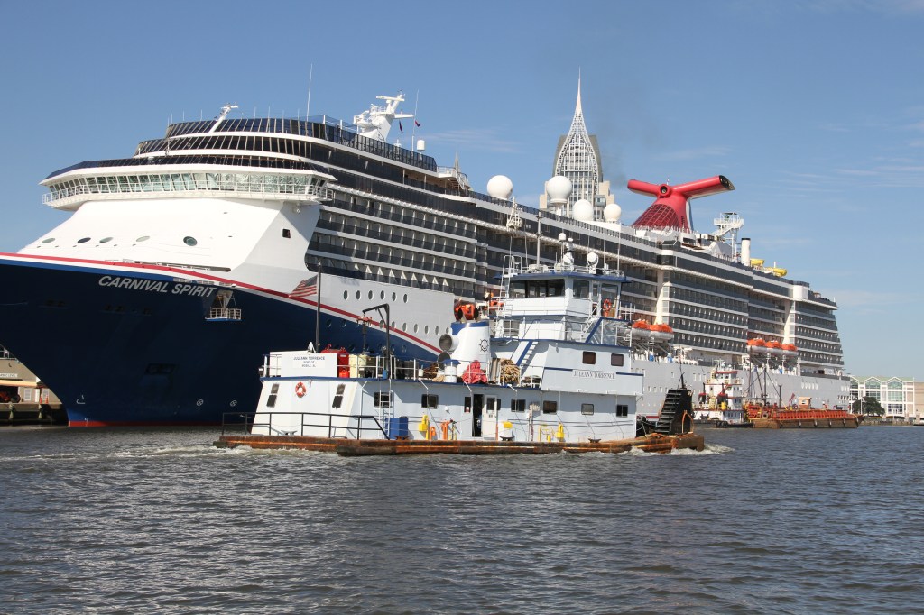
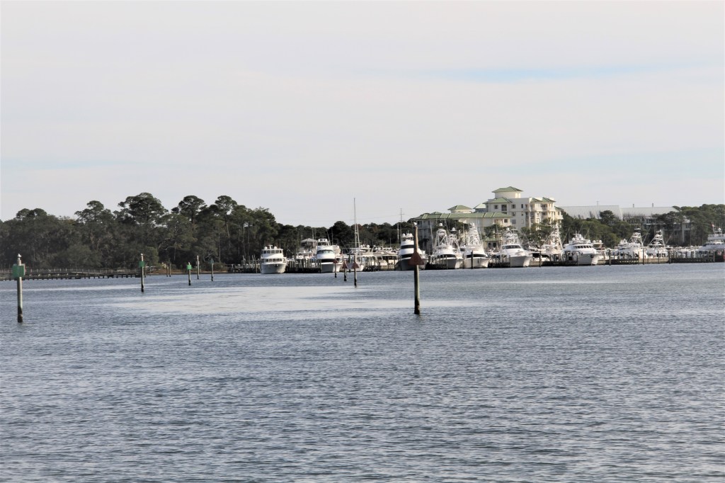
Nov. 25- Dec. 18; Mile 158; Day’s run: 99 mi (to the Wharf Marina )
“This is a landscape that’s on par with anything you’ll find worldwide from Mongolia to Africa to the Amazon” ,(Mitch Reid, state director for The Nature Conservancy in Alabama. Nice News.com) *
Thanks to Phil Brown, author of Edge of Destiny, for bringing this recent news release to my attention.
*To learn more about the delta and to watch a short video of this diverse natural environment, entitled , Land Between the Rivers, click below: https://www.nature.org/en-us/about-us/where-we-work/united-states/alabama/stories-in-alabama/alabama-mobile-tensaw-delta-connecting-southern-landscapes/
To watch a 10 min. virtual tour of the Mobile-Tensaw River Delta, click below: https://www.goodnewsnetwork.org/unprecedented-gift-preserves-8000-acres-of-the-land-between-the-rivers-in-alabama-americas-amazon/
*Mobile: Formerly known as Mauvila /Mobila, and once occupied by Muscogee Native Americans, was taken by the Spanish in the early 1500s.
Throughout 1826 -’29, Cpt. John Grant used a dredge he had perfected, to deepen passes across Mobile Bay. Channels would have been marked with wooden sticks and copper clad barrels. However, until a channel was dredged to 17 feet, and a lighthouse erected in the middle of the bay, large ships were not safe to proceed into Mobile Harbor.
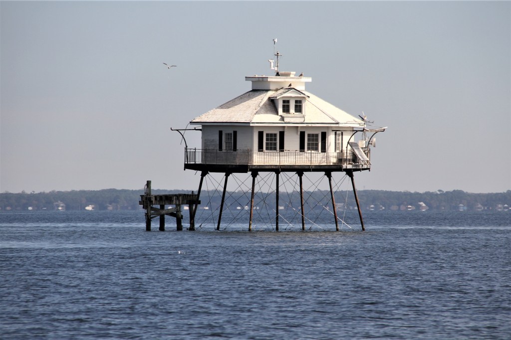
In the summer of 1916, the keepers wife gave birth, but she was unable to provide nourishment to the infant. The keeper, not wanting to send his wife and child away, brought a dairy cow to the station and housed it on the lower deck ‘gallery’. The light was automated in 1935 and is still active today.
– providing a $55 million dollar bond against potential damages that might occur as a result of drilling.
-a no-dumping policy: the first of its kind in the industry, requiring Mobile to collect all mud, cuttings, sewage and rainwater, that fell on the rig pre, post, and during drilling. These collections were then directed into a special barge and disposed of onshore in an approved landfill site.
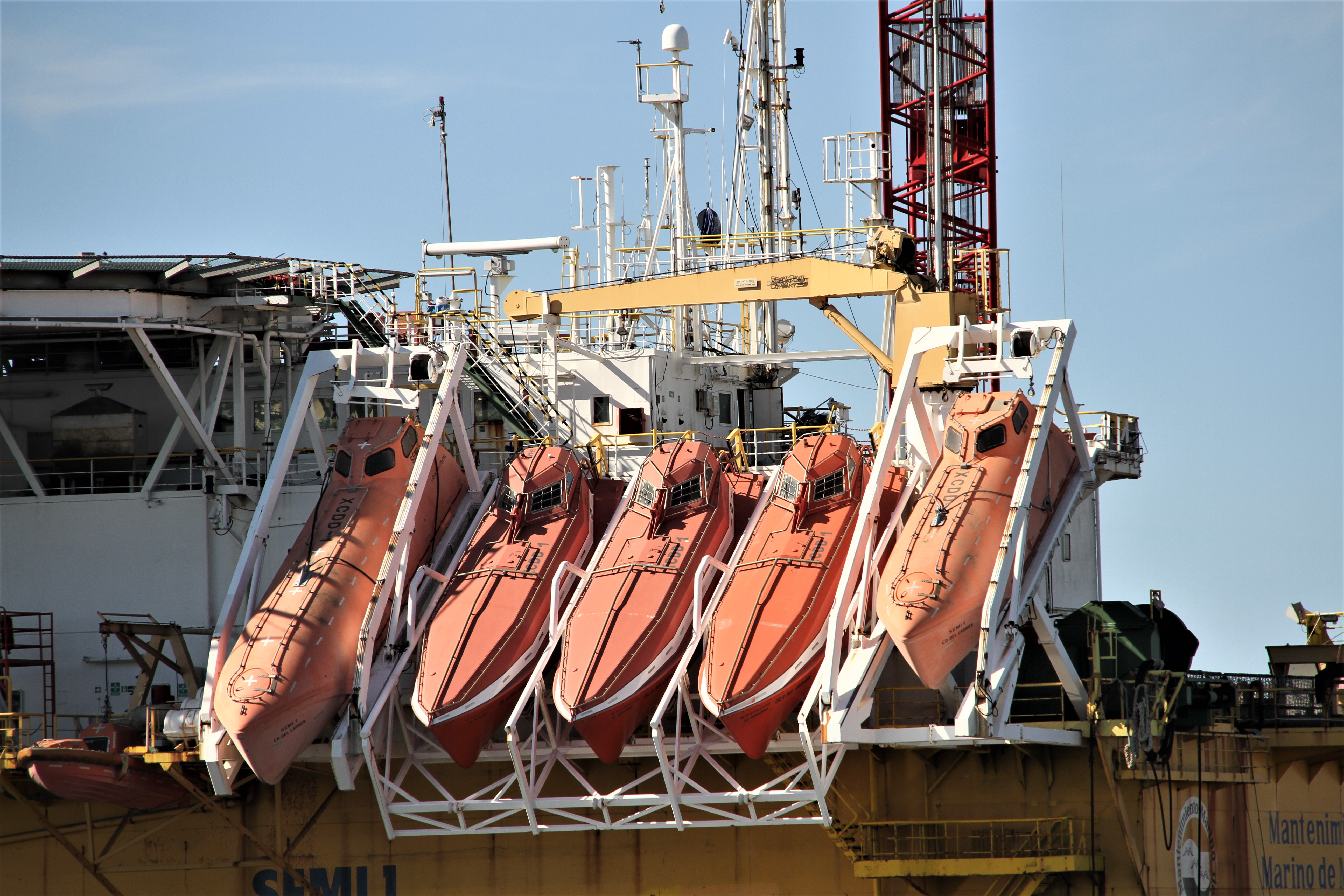
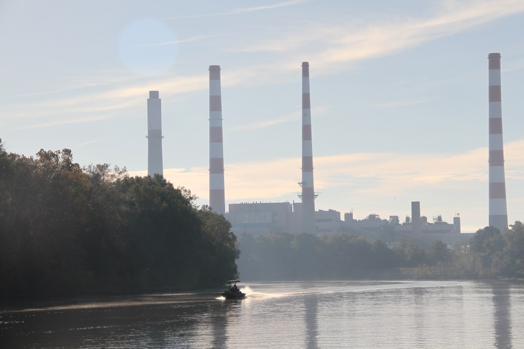
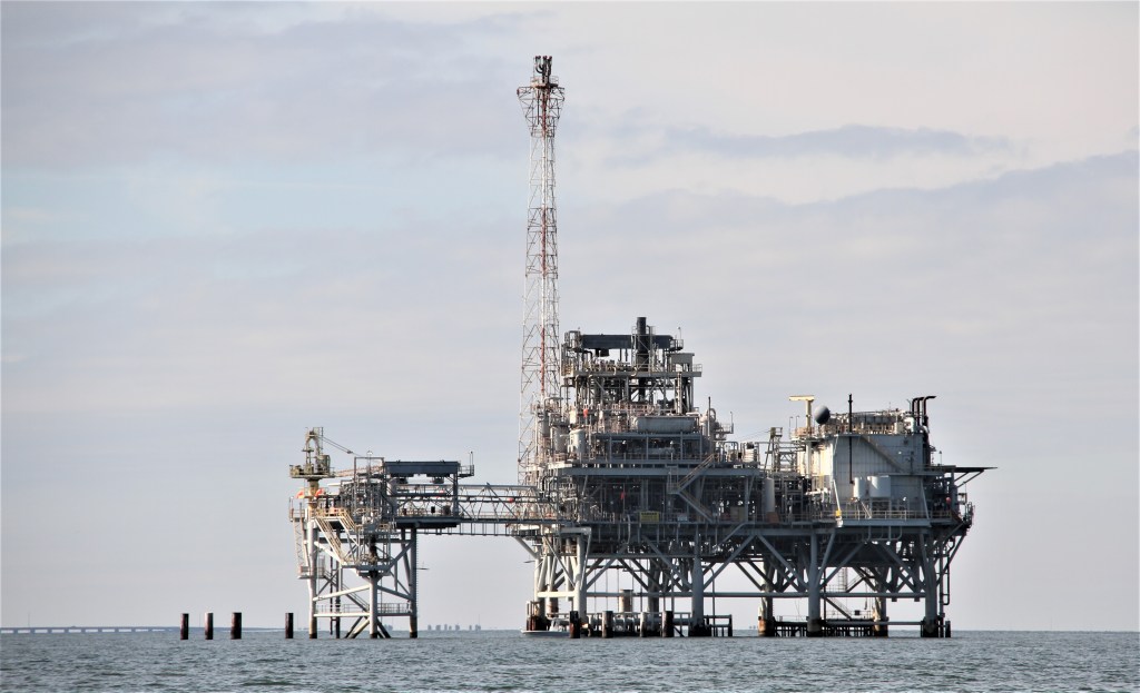
Natural gas offshore platforms. Life rafts ready to be deployed.
Seabeds surrounding natural gas producing platforms are enhanced with several inches of limestone aggregate to provide good habitats for certain fish species.
We intercepted the Gulf Intracoastal Waterway (GIWW)* (mile 146 / marker 124), while heading east towards Fort Morgan.
* The Gulf Intracoastal Waterway (GIWW) is a marked, dredged channel running behind barrier islands and across several Gulf Coast bays, offering protection from wind and sea conditions in the Gulf of Mexico.
In certain locations, it can be narrow, and shallow. At those times, we need to look behind us and visualize a line running from one buoy to the next, so not to get outside the channel. The GIWW is part of the Intracoastal Waterway (ICWW), a 3000-mile inland marked channel similar in nature to the GIWW. The mileage numbers will get larger as we continue east and north.
It is not recommended traveling the GIWW without towing insurance.

Leave a reply to sdakinc099a1faf4 Cancel reply